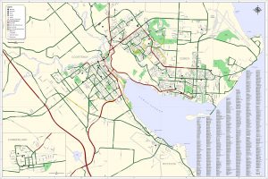
 The Mapping Centre of Project Watershed is embarking on an initiative to produce activity specific maps in the Comox Valley and is looking for your input.
The Mapping Centre is the social enterprising arm of Project Watershed; a local environmental non profit organisation that is focused on stewardship, restoration and protection of Comox Valley Watersheds. Created in 2008 to utilize the GIS and GPS equipment and expertise Project Watershed has accumulated over the years, The Mapping Centre has delved into the business of map making. In March of this year the Broken Spoke Bike Shop in partnership with The Mapping Centre released the first ever Comox Valley Cycling Map. The Cycling Map has been a great success and now The Mapping Centre is working to produce an array of maps each focused on different activities in the Comox Valley.
To guide the production of the maps the Mapping Centre is gathering input from locals and tourists. The Mapping Centre would like to know what maps are needed, what information is important to include etc… If you have ever wanted a map for an activity you participate in or can think of an activity that needs a map, the Mapping Centre is asking you to fill in their survey available at maps.projectwatershed.ca. The new map or maps would be available starting next year. Some of the ideas put forward already include a Water Sports Map, a Hiking Guide and an Artists Studio Tour Map. Other Comox Valley maps including an airphoto map of the entire Valley are also available from The Mapping Centre.
If you are interested in helping to gather geographic information or have digital information for the production of activity maps please contact Caila Holbrook at maps.projectwatershed@gmail.com.
Working with the K’ómoks Nation towards Q’waq’wala7owkw on their unceded territory.

