Forage Fish
feed the marine food chain
Photo by Jeff K. Reynolds
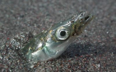
Forage fish, sometimes called forage species, are small schooling animals, often fish such as herring, surf smelt, eulachon (also spelled oolichan or ooligan) and Pacific sand lance but also krill, and squid. These species are united by their position in the food web providing energy to middle and top predators. Some of these species are better studied than others. We focus our work on Pacific sand lance, and surf smelt – two beach spawning forage fish species we don’t know a lot about.
Our work is to learn more about these beach spawners and the habitats they need. To do this we, along with a host of citizen (community) science volunteers and academic collaborators, collect sand samples from beaches and look for DNA, or tiny eggs under microscopes. We use this knowledge to develop tools like models and maps to provide a deeper understanding to guide decisions.
Forage Fish Habitat Mapping
Looking for beaches these fish use as nurseries
Forage Fish Models
Creating suitability models to predict habitat and focus research
Donate
Choose “Forage Fish” from the dropdown to donate to this initiative

Surf Smelt (top) and Pacific Sand Lance (bottom). Photo by K. Perry.
Forage Fish News
Working Together to Identify Forage Fish Spawning Beaches
This year marks the 5th year of a partnership between Comox Valley Project Watershed Society and North Island College on a long-term study to examine intertidal spawning habitats of forage fish in the northern Salish Sea.
Forage Fish Sampling – Spring/Summer 2024
Forage fish sampling is starting back up again in May!
Forage Fish Symposium
The forage fish team has been busy planning the Coastal Forage Fish Network Symposium. Hosted on Zoom, this event brings together researchers, experts and community citizen science volunteers to share research highlights from across Vancouver Island and beyond.
Volunteer Information
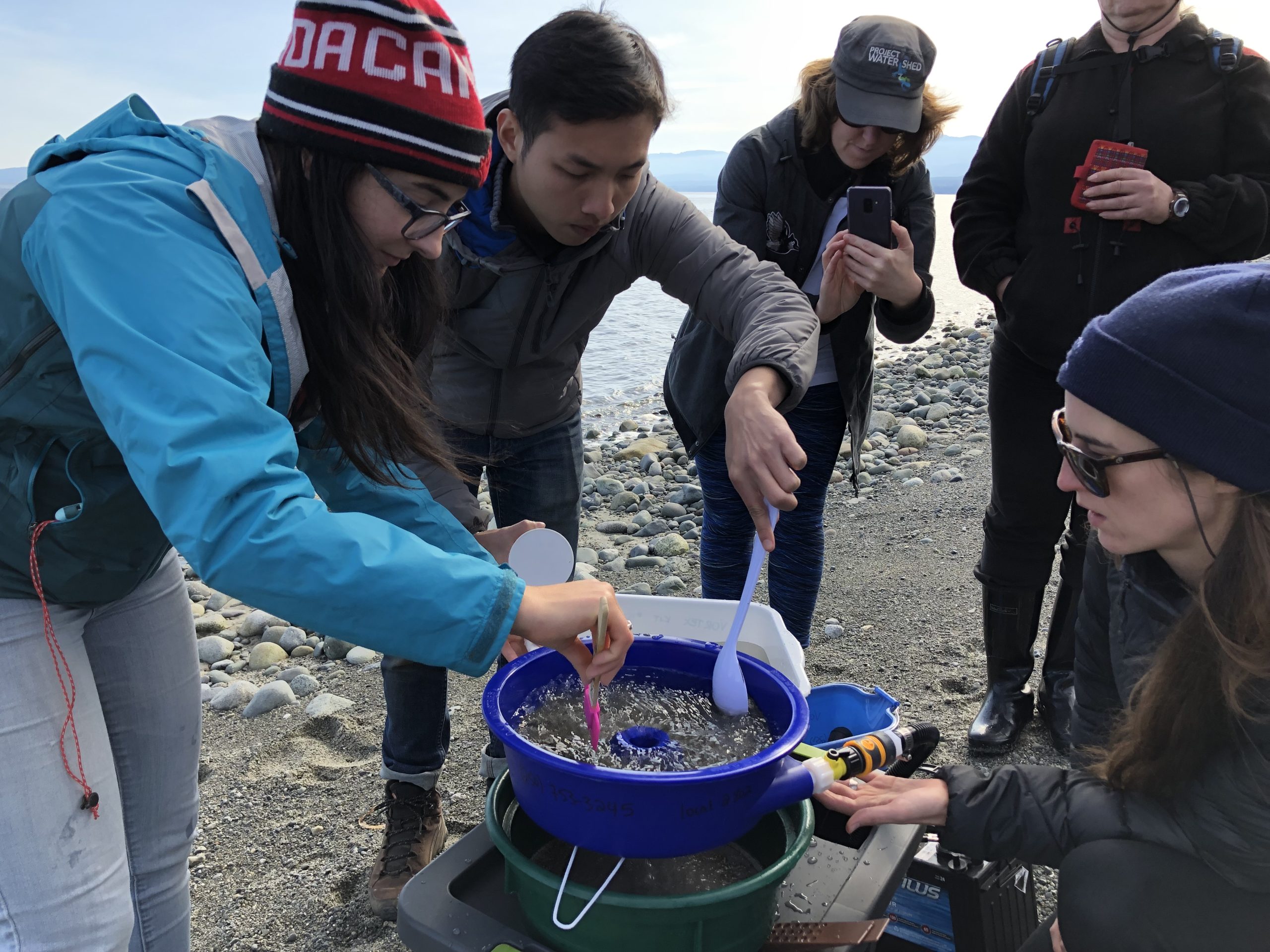
Much of our forage fish work is powered by community (citizen) science. Project Watershed is part of the Coastal Forage Fish Network where non-profits & NGOs, First Nations, and individuals collectively come together to collaborate on forage fish specific research, monitoring, and restoration. If you want to help find forage fish eggs and habitat on shorelines in your home reach-out with our sign-up form below. We provide training for groups and individuals on how to search for this very specific habitat and cryptic species. You can join one of our beach monitoring teams or start up your own!
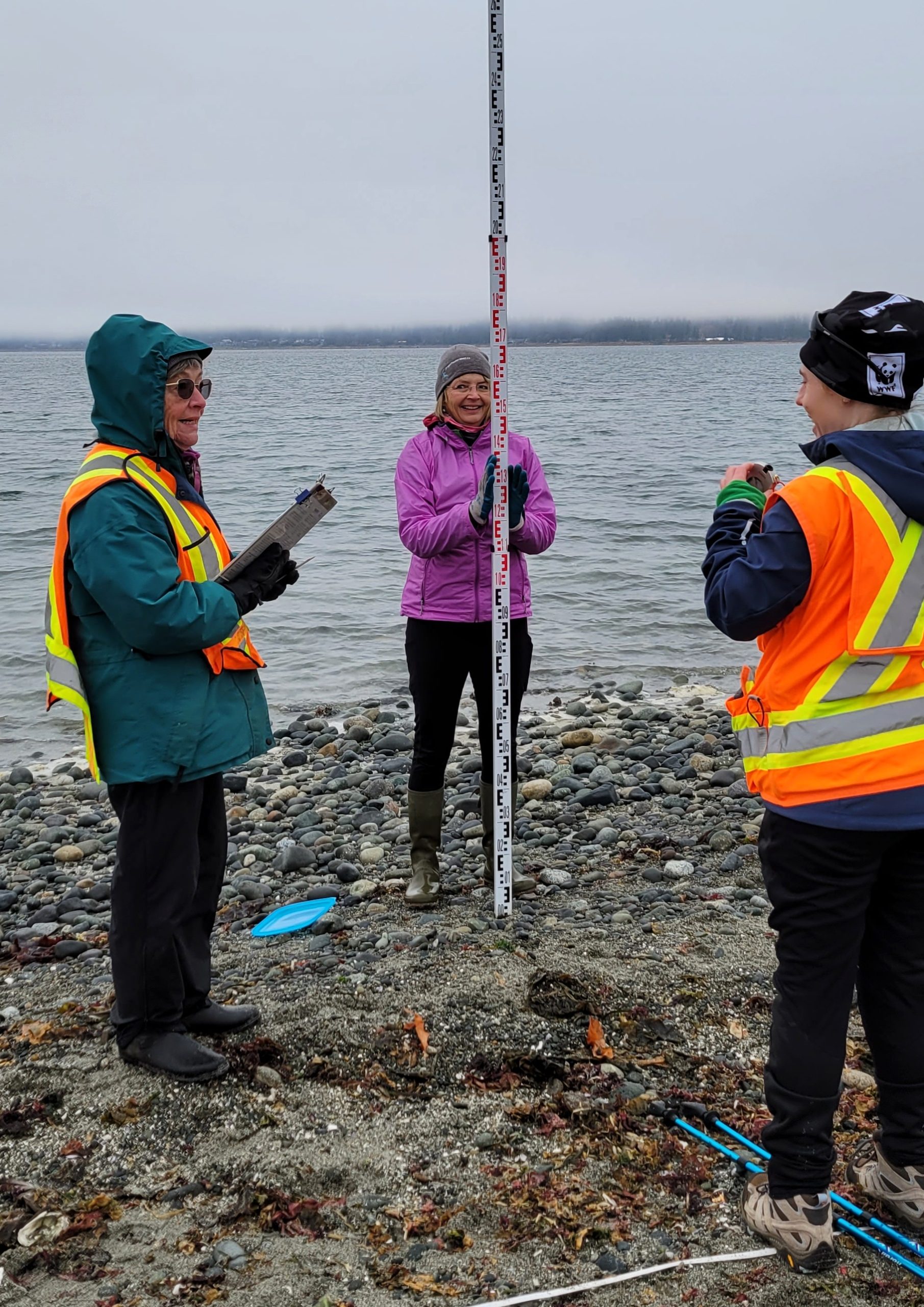
Being part of a beach spawning forage fish monitoring team involves visiting beaches, collecting sand, and using microscopes. This work has opportunities to suit everyone’s abilities and talents, you can join in for all of it, or focus on specific tasks. As part of the training our biologists will teach you how to assess beach habitat, layout transects, collect samples and preserve them. Back at the office/lab we will show you how to prepare samples and identify eggs under the microscope.
We sample core beaches on suitable tides every 10 to 14 days in the winter sand lance spawning season, November to February. Once eggs are detected at our core beaches, we begin blitz surveys. Blitz surveys involve sampling as many suitable beaches as possible. We sample core beaches once a month throughout the year, as surf smelt are known to spawn in every month. These surveys identify where important fish nursery habitats are and the long-term monitoring provides data about spawn timing, distribution, and long-term persistence. We are actively collaborating with researchers to improve our processes and better understand these important food web species.
Join us for beach fun!
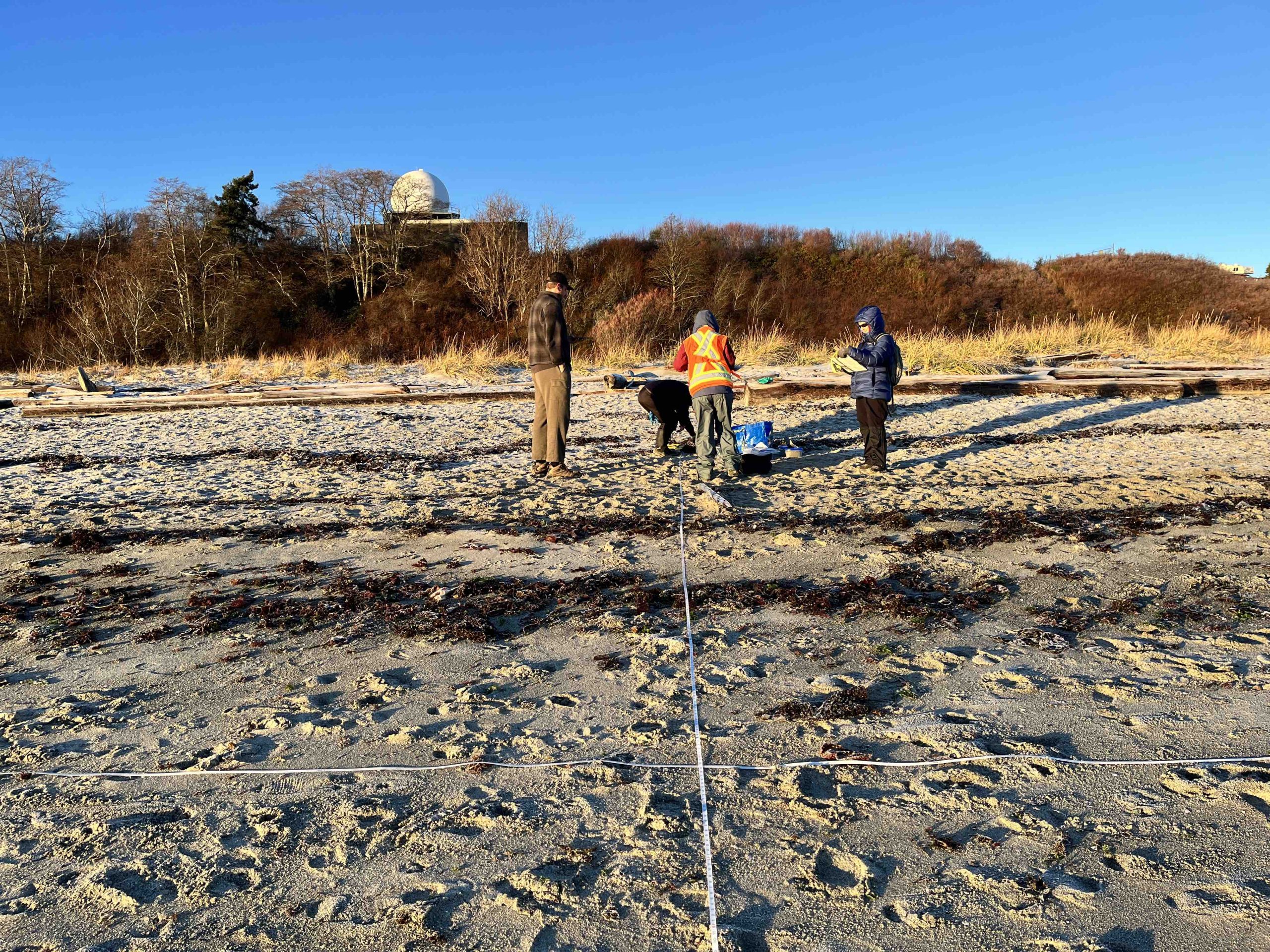
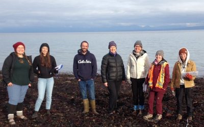
Forage fish sampling at Airforce Beach ~ Katie Schulze
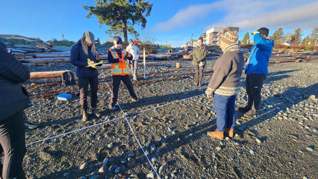
Beach survey ~ Tom Grimmer
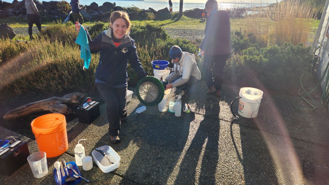
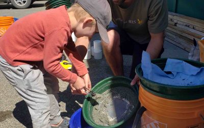
Virginia Vortexing ~ Tom Grimmer
Forage Fish Beach Survey ~ Tanis Baker
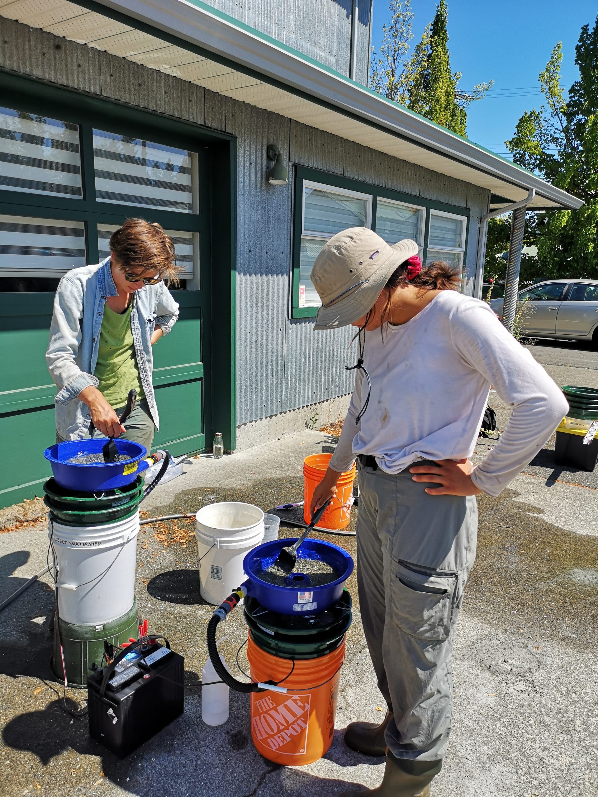
Vortexing ~ By J. Lund

Vortexing ~ by Z. Cilliers
Forage Fish ~ MABRRI, 2019

Forage Fish Survey Team ~ Michael Lockhart
Local Ecological Knowledge
If you have any information to share please fill out the Local Ecological Knowledge Questionnaire. You can also:
- Send photos of beaches where you have seen forage fish in the past
- Share local knowledge over casual conversation and send us your stories
- Virginia.East@projectwatershed.ca
- 250-703-2871
Thank you for sharing your knowledge on forage fish and contributing to our ongoing collection!
Funders & Partners
This work is funded by the BC Salmon Restoration and Innovation Fund and with support from the Pacific Salmon Foundation and the Comox Valley Regional District. Local partners in this initiative include K’ómoks First Nation and North Island College.