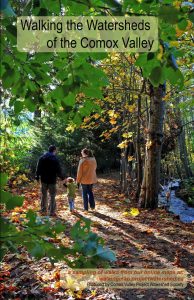
If you enjoy the outdoors, walking and learning about the Comox Valley, the Walking the Watershed’s map booklet is for you. This full color booklet features 18 easy to moderate walks from around the Comox Valley. As well as showing a GPS’ed route, each walk includes a description, rating and trail information such as the location of benches, picnic tables, bridges and more. The cover of the booklet is printed on water resistant paper to help it last in our rainforest environment. Booklets are now available for $10.45 at the Vancouver Island Visitor’s Centre, Project Watershed, the Broken Spoke, the Farmers Market and Blue Heron Books.
Comox Valley Proj ect Watershed Society partnered with the Comox Valley Community Foundation, Discover Comox Valley and SureCopy Courtenay to create the booklet. The booklet is a sampling of the 40 walks which are displayed on our online map Walking the Watersheds of the Comox Valley. The walks themselves were GPS’ed by Project Watershed volunteers between 2011 and 2012 with funding from Comox Valley Regional District.
As indicated on the website there are still a few walks that have to be GPS’ed. If you are keen to go on a walk and collect GPS information contact Project Watershed at maps.projectwatershed@gmail.com.
The Walking the Watershed Booklet was launched at Project Watershed’s map event Mapapolooza along with a demonstration of the much anticipated K’omoks Estuary Interactive Map, the newly created Comox Valley Map Directory and the Comox Valley Cycling Map.
Working with the K’ómoks Nation towards Q’waq’wala7owkw on their unceded territory.
Working with the K’ómoks Nation towards Q’waq’wala7owkw on their unceded territory.


