Trent River Estuary
K’ómoks Important Bird and Biodiversity Area
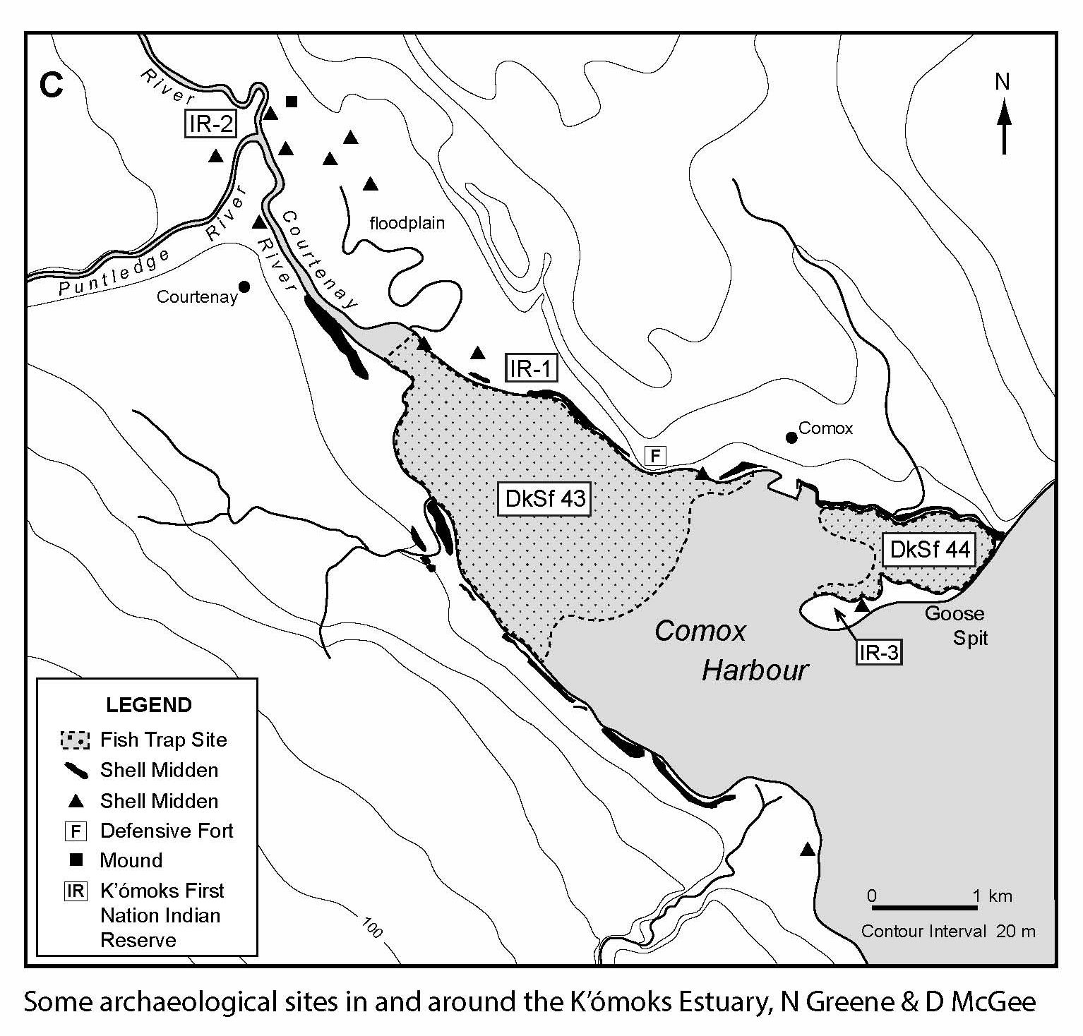
The K’ómoks IBA, along the east-central coast of Vancouver Island near the city of Courtenay, is an extensive network of marine waters, estuaries, backshore areas and associated lowland valley bottoms. Inland lowlands are a mixture of agricultural areas and forested land. Forests are predominantly Coastal Douglas-fir and Western Hemlock while some dry Garry Oak/Douglas-fir forest occupies drier sites. An extensive estuary ecosystem extends from K’omoks Estuary through Baynes Sound to Deep Bay and Mapleguard Point, approximately 30 km to the southeast. Baynes Sound is a shallow coastal channel fringed by protected bays, open foreshore, tidal estuaries and inshore marshes. The shoreline includes wide expanses of mud and sand flats, low gradient deltas and sand and gravel beaches. This area is the most important intertidal area in B.C. for oyster and shellfish aquaculture. Further offshore, Lambert Channel and the marine waters surrounding Hornby Island have mostly rocky shores and rocky headlands, that provide extensive feeding and resting areas for waterbirds, especially during herring spawn in late-winter and early-spring.
Forage Fish
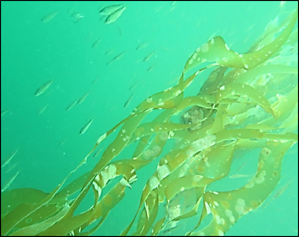
When we think of spawning habitat for fish, we generally think of salmon spawning on gravel beds in rivers. However, many species of forage fish spawn directly on beaches. Forage fish are small fish that travel in schools such as surf smelt and herring. Have you ever seen surf smelt leaping at high tide? On the very pebble/sand shorelines we like to walk along, surf smelt and Pacific sand lance deposit spawn near the log line. Herring eggs can also be found from mid-intertidal to deeper waters. Forage fish species like surf smelt, Pacific sand lance (needle fish) and herring form the cornerstone of marine food webs. These small feeder fish are critical to the survival of fisheries and thousands of predators from fish, birds and marine mammals. Humpback whales, minke whales and harbour seals depend on forage fish for 75 per cent of their food.
From sand grains to salmon, it’s all connected!
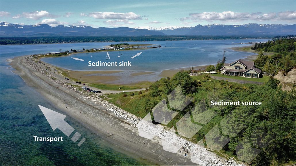
A healthy spawning beach has an intact marine riparian buffer zone, overhanging shade vegetation, a supply of pebble and sand and clean water. These spawning areas are in a zone highly vulnerable to human activities. Shade from overhanging marine riparian vegetation keeps summer surf smelt eggs moist. Removing shoreline vegetation increases temperatures within the spawning gravel. On hot summer days, these eggs can’t survive. Hardening and altering shorelines degrades and destroys spawning habitat. Seawalls block sediments from reaching the beach and wave scouring removes pebbles and sand. Boat ramps and breakwaters interrupt sediment flow along beaches until these areas become starved of fine sediments.
Media Team
Related Posts
Eelgrass Update
In the fall our restoration team surveyed the three eelgrass beds which were planted with the help of our volunteers back in June. The beds are looking healthy!
Kus-kus-sum: End of Season Wrap-up
Now that we have put the Kus-kus-sum site to bed for the winter, we wanted to give you all a little update on how things progressed this season – lots happened!
Kate McKeown
Meet our new Forage Fish Technician!
Greenshores at Dyke Road Park – Reimagining a Park
On September 20 and 21, over 20 people were on site to help with planting at the Comox Valley Regional District’s (CVRD) Dyke Road Park redevelopment project.
Gartley Beach Green Shores for Homes Project
Project Watershed is teaming up with the CVRD and the Stewardship Centre for BC to do some shoreline restoration at Gartley Beach in Royston.
Fall and Winter Forage Fish Sampling
We’re gearing up for the fall/winter season of forage fish sampling!


