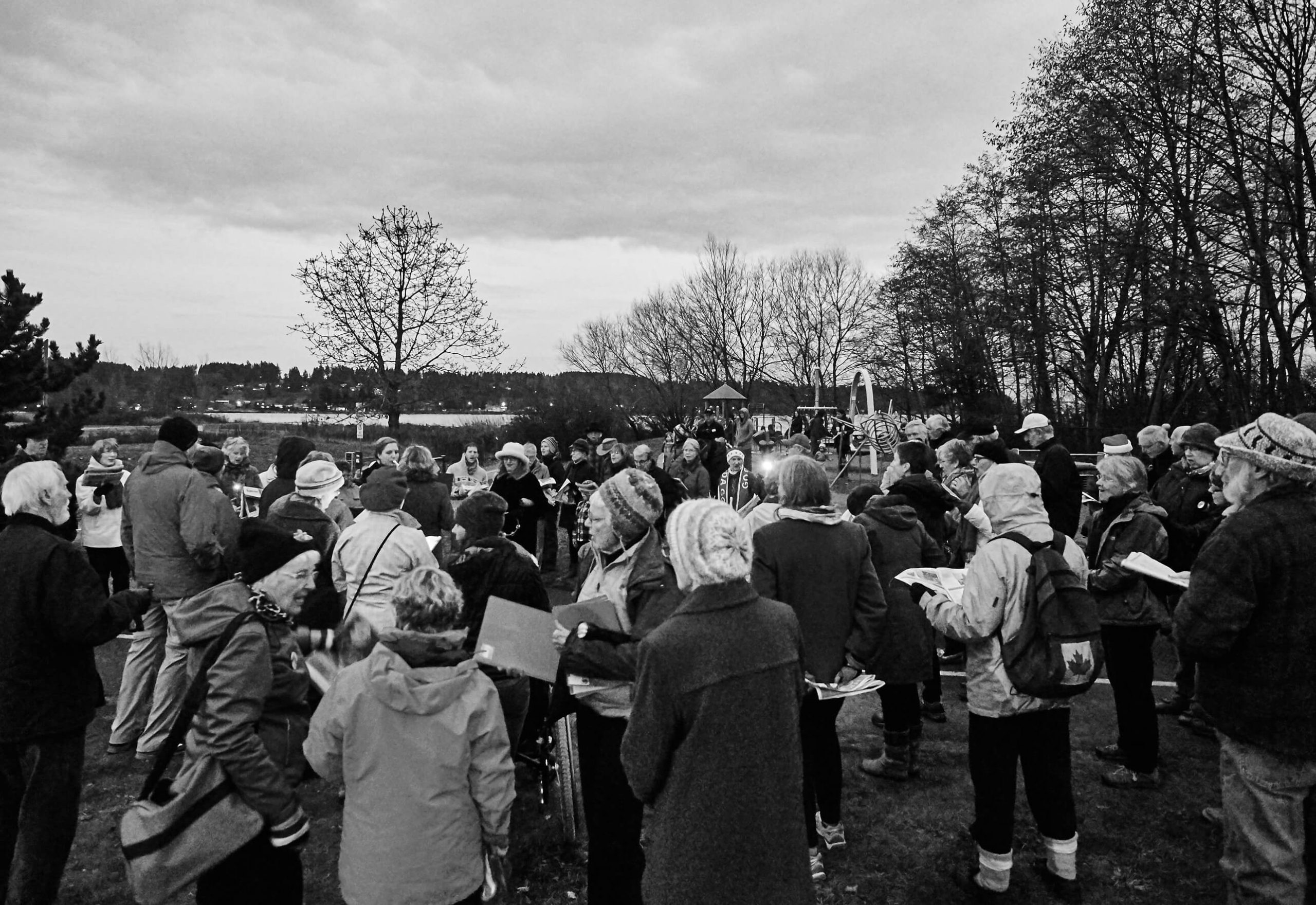
9th Annual Estuary Carol Walk
Dec 8th
4-6pm
Mansfield Drive Parking Lot
You can download and print the Carol Booklet on this page or view it on your phone so that you can sing along with the group.
The ninth annual Comox Valley Estuary Carol walk begins at dusk (4:00 pm), Sunday, December 8nd at Mansfield Drive parking lot (behind Bayside Cafe at 26th off Cliffe Ave). Carollers may also join at the Airpark Marina parking lot or on the covered patio at Locals Restaurant, near the Old House Hotel and Spa. Children and dogs welcome! We live in a Canadian rainforest so dress for the weather. Carry a water bottle. Bring a flashlight or headlamp if possible. Park vehicles at Mansfield Drive, the Airpark or near the Old House.
Locals Restaurant Chef Ronald and Host Tricia St. Pierre offer a complementary wassail cup to all wandering minstrels arriving about 5:30 pm. Those staying for dinner should make a reservation prior to the event (250 338-6493) and may order off the regular menu or select the seasonal special.
The walk will be led this year by the Beach Street Singers, under the direction of Gloria Hereuf. Sheila Borman is organizing the volunteer team, supported by St. John’s Ambulance volunteers.
Related Posts
Mallard Creek Restoration Update for 2024
Restoration work in Mallard Creek will continue this year, including invasive removal, restoring connectivity, and trial planting of a new riparian species. Volunteer events starting in September 2024.
Volunteer at Kus-kus-sum Chamber of Commerce Event
We are showing Kus-kus-sum off to businesses in the Valley through a Chamber Business to Business event. We are looking for a few volunteers to assist with this event.
Coastal Plant Monitoring
Get involved with our new vegetation community science monitoring program!
Spring Field Trips
Throughout May and June Project Watershed will be taking elementary school classes out on field trips to learn about estuary and coastal ecology and to assist with planting and plant maintenance.
Working Together to Identify Forage Fish Spawning Beaches
This year marks the 5th year of a partnership between Comox Valley Project Watershed Society and North Island College on a long-term study to examine intertidal spawning habitats of forage fish in the northern Salish Sea.
Glen Urquhart Update – Spring 2024
Latest news from Glen Urquhart restoration progress for spring 2024.


