Blue Carbon Fact Sheet
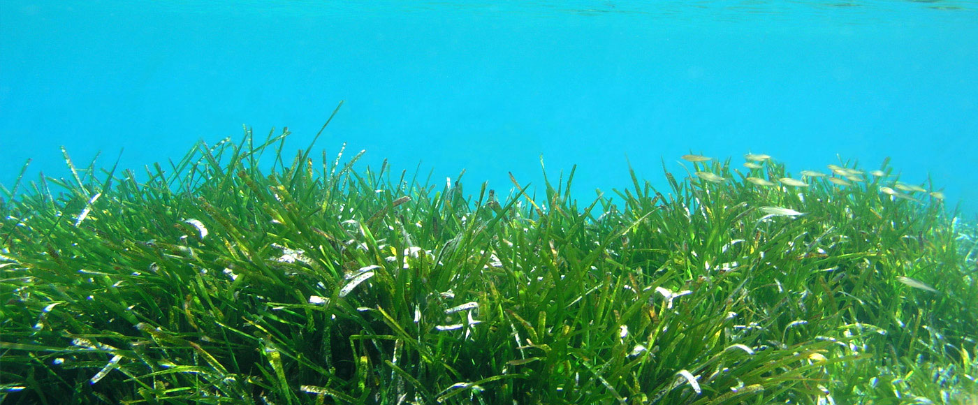
Blue Carbon refers to the long-term storage of carbon in sediments underlying marine and aquatic plants. The sea grass/eelgrass (Zostera marina) and salt marsh habitats are known to sequester and store carbon at very high levels compared to vegetation on land. The Comox Valley Project Watershed Society has developed a community-based protocol to allow coastal organizations in the Salish Sea to assess and identify Blue
Carbon opportunities in their local estuary. We developed a method to map eelgrass and salt marsh with minimal technical expertise yet provide very accurate results.
We hypothesized that carbon sequestration is influenced by local geography and hydrology so that different areas of the estuary sequesters carbon at different rates and much of the carbon associated with eelgrass plant material is carried out of the estuary and deposited elsewhere. These factors should be considered when selecting an area to carry out Blue Carbon projects and eelgrass habitat restoration.
Empirical observations suggest that during storms and heavy wave action sloughed eelgrass may become buried under sand/silt above the high tide line, and hydrological assessments and observations on secluded shorelines have revealed major dumps of eelgrass detritus. We have initiated a pilot study sampling sediments from shoreline and other areas in the estuary to assess sea grass DNA distribution. We tested for the presence of a Z. marina DNA signature in shoreline sediments and core samples taken from various areas.
Human Resources
Related Posts
Mallard Creek Restoration Update for 2024
Restoration work in Mallard Creek will continue this year, including invasive removal, restoring connectivity, and trial planting of a new riparian species. Volunteer events starting in September 2024.
Volunteer at Kus-kus-sum Chamber of Commerce Event
We are showing Kus-kus-sum off to businesses in the Valley through a Chamber Business to Business event. We are looking for a few volunteers to assist with this event.
Coastal Plant Monitoring
Get involved with our new vegetation community science monitoring program!
Spring Field Trips
Throughout May and June Project Watershed will be taking elementary school classes out on field trips to learn about estuary and coastal ecology and to assist with planting and plant maintenance.
Working Together to Identify Forage Fish Spawning Beaches
This year marks the 5th year of a partnership between Comox Valley Project Watershed Society and North Island College on a long-term study to examine intertidal spawning habitats of forage fish in the northern Salish Sea.
Glen Urquhart Update – Spring 2024
Latest news from Glen Urquhart restoration progress for spring 2024.


