Coastline Restoration in Fanny Bay
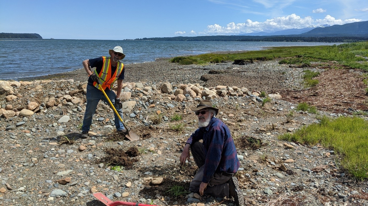
Director Dan Bowen and volunteer Don Mitchell enjoying the digging and planting
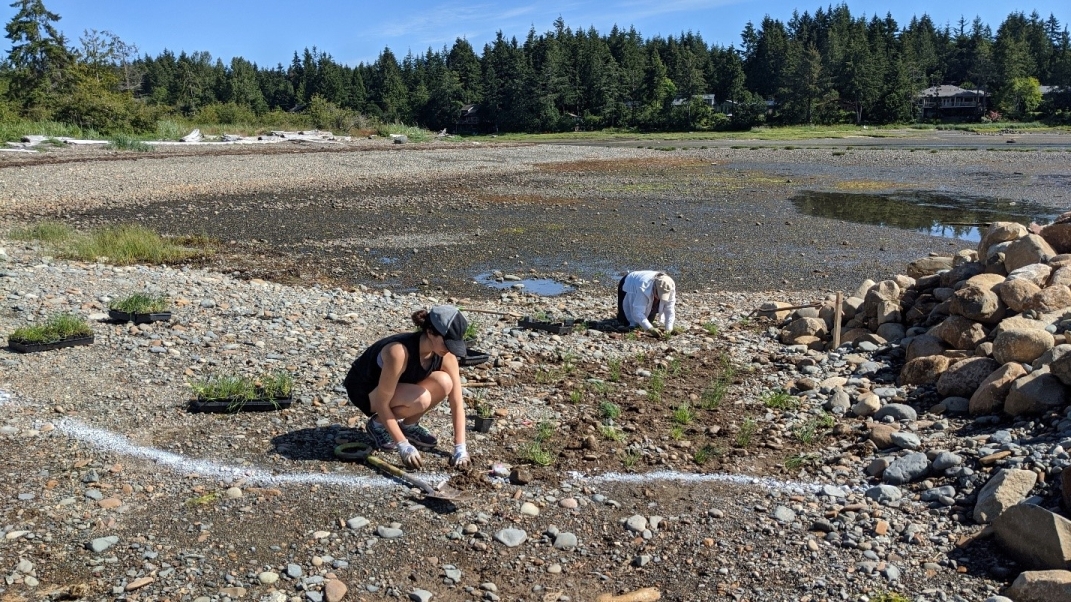
Hard at work saltmarsh planting
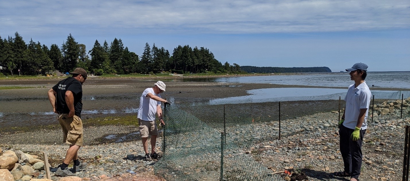
Fence up! Gotta keep those geese and grazers from eating all the baby plants. From Right to Left- Dan George, Stuart Swain and Young Nguyen
During this planting, our Project Manager & Estuary Coordinator, Jennifer Sutherst, conducted field research to evaluate two planting techniques in two adjacent areas. The first technique is the more common method, with single plants spaced in a 30-cm radius from each other. The second technique was guided by recent restoration research, which indicates that saltmarsh plants may survive better by being planted in groups. To this end groups of three individual plants were placed together in a single hole. These were within a one-meter radius from the next group. By performing this hands-on field research, we will be able to compare the survival rate between the two planting techniques with the aim of increasing the survival of our saltmarsh plants.
In addition, the Project Watershed board and staff also ensured everyone’s health and safety by going over our safety protocols first thing in the morning. These guidelines also include the recently developed COVID-19 safety precautions put in place by our Field and Research Assistant, Virginia East. We made sure that everyone had a good time while maintaining their physical distance. The project was initially planned to be finished in five to six days. However, our enthusiastic volunteers and staff were enjoying the planting and the beautiful weather so much, it only took three days to finish. We will continue to monitor this saltmarsh planted at Fanny Bay and will post updates on its status very soon.
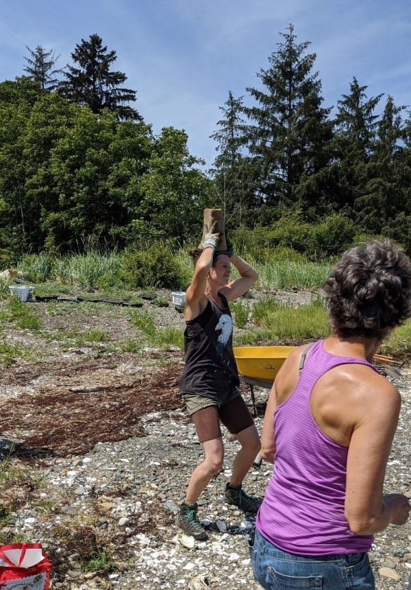
Having fun in the sun
Related Posts
Fall and Winter Forage Fish Sampling
We’re gearing up for the fall/winter season of forage fish sampling!
Mallard Creek Riparian Planting
We will be planting native riparian species along a section of Mallard Creek that we recently cleared of invasive Reed canarygrass.
Fall Planting at Kus-kus-sum
We are looking for volunteers to assist us with planting native trees, shrubs, and marsh plants at Kus-kus-sum this fall!
A New Day for Forage Fish
Project Watershed and the Coastal Forage Fish Network (CFFN) are celebrating Surf Smet Day on October 25th! This adds another day on which to celebrate and raise awareness about beach spawning forage fish as Pacific sand lance are celebrated on a day in December.
Fall Work at Kus-kus-sum
We are looking for volunteers to assist us with weeding out invasive plants to make room for the native plants arriving later this fall!
Forage Fish Survey Techniques Workshop
The Coastal Forage Fish Network (CFFN) is hosting two one-day workshops to introduce development considerations and methods to survey for beach spawning forage fish for projects that may impact beach spawning forage fish.


