Salt Marsh Restoration in the K’ómoks Estuary at Dyke Slough

Salt Marsh Restoration at Dyke Slough Map

Dyke Slough Tide Gates

Salt Marsh Platform
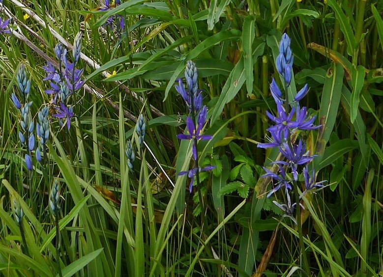
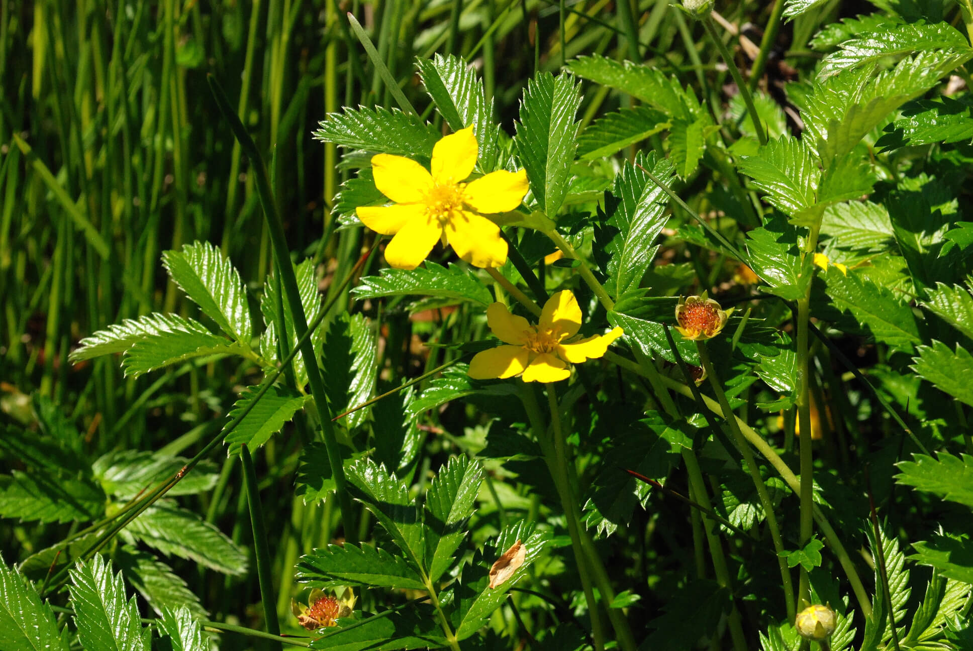
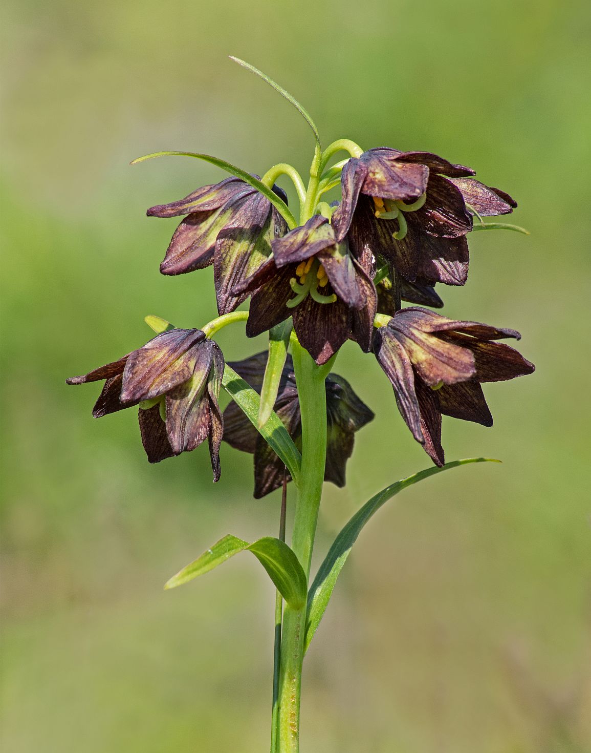
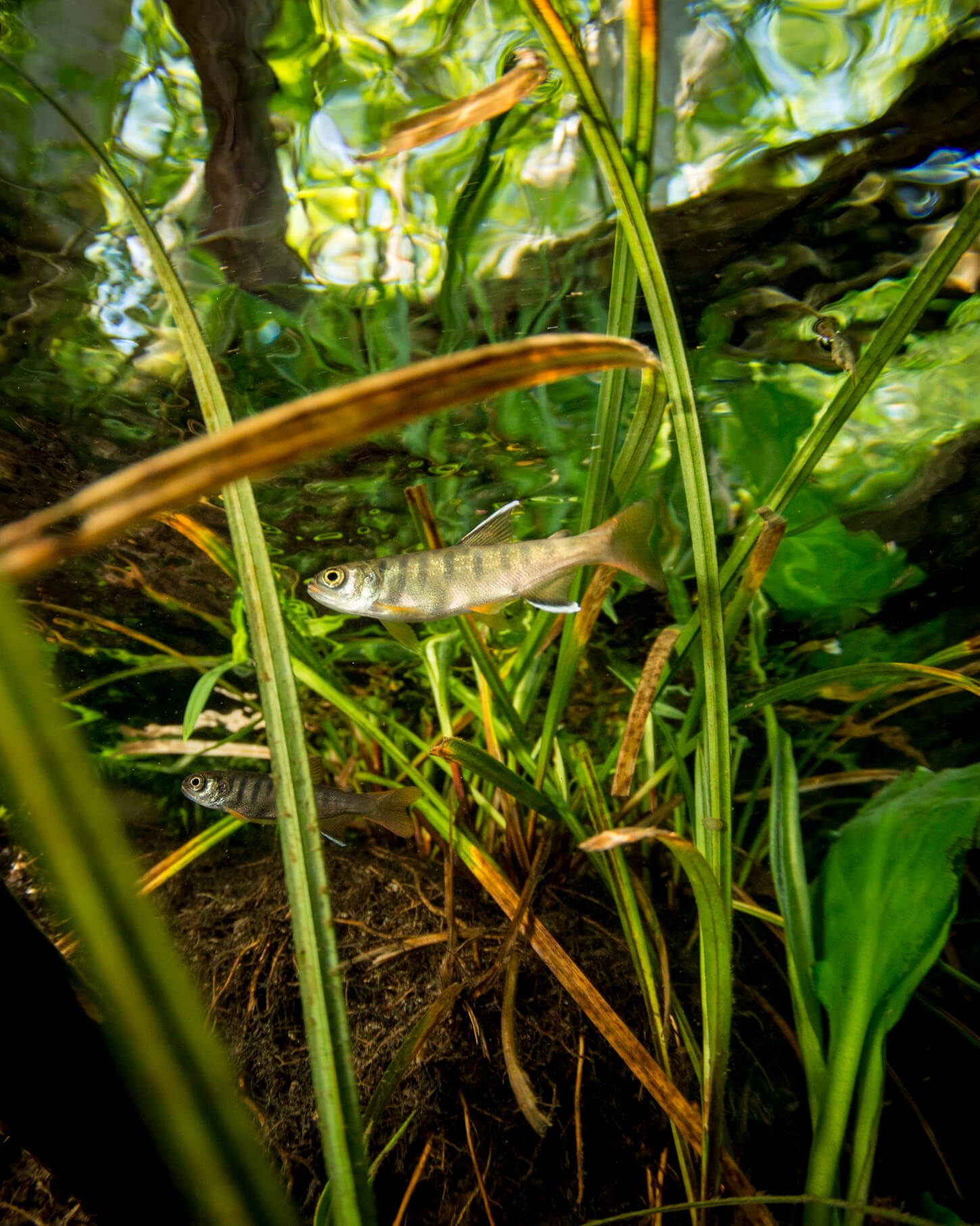
A tidal marsh is a type of habitat found along coasts and estuaries which is regularly flooded by the tides. The vegetation found in these areas has evolved adaptations to this inundation by marine waters. These marshes are among the most productive ecosystems in our region, with a number of species including waterfowl, other migratory birds, and salmonids using these marshes as habitat. They are home to stunning plant biodiversity and have been important sites of cultivation and harvest of staple food plants, such as silverweed (Potentilla egedii), Camas (Camassia spp.) and Northern riceroot (Fritillaria camschatcensis) for Coast Salish peoples.
Human influences have led to loss of marsh in the estuary. Some anthropogenic influences include climate change, increased storm frequency and intensity, and grazing from resident Canada Geese populations.
The map on this page shows lost, historic salt marsh in red, degraded salt marsh in orange, and intact salt marsh in light green. The area in green with hash marks shows a marsh restoration project under-taken in March of 2021 by Project Watershed, funded by Fisheries and Oceans Canada through the Coastal Restoration Fund.
This restoration built up a new marsh platform to replace lost, historic tidal marsh. The newly built platform (bottom photo) was then planted, all to help support wildlife and coastal resiliency in our thriving estuary.

Related Posts
Mallard Creek Restoration Update for 2024
Restoration work in Mallard Creek will continue this year, including invasive removal, restoring connectivity, and trial planting of a new riparian species. Volunteer events starting in September 2024.
Volunteer at Kus-kus-sum Chamber of Commerce Event
We are showing Kus-kus-sum off to businesses in the Valley through a Chamber Business to Business event. We are looking for a few volunteers to assist with this event.
Coastal Plant Monitoring
Get involved with our new vegetation community science monitoring program!
Spring Field Trips
Throughout May and June Project Watershed will be taking elementary school classes out on field trips to learn about estuary and coastal ecology and to assist with planting and plant maintenance.
Working Together to Identify Forage Fish Spawning Beaches
This year marks the 5th year of a partnership between Comox Valley Project Watershed Society and North Island College on a long-term study to examine intertidal spawning habitats of forage fish in the northern Salish Sea.
Glen Urquhart Update – Spring 2024
Latest news from Glen Urquhart restoration progress for spring 2024.