Surf Smelt Sampling Has Arrived
A sediment card for identifying dominate sediment (Photo: WWF Canada and MABRRI)
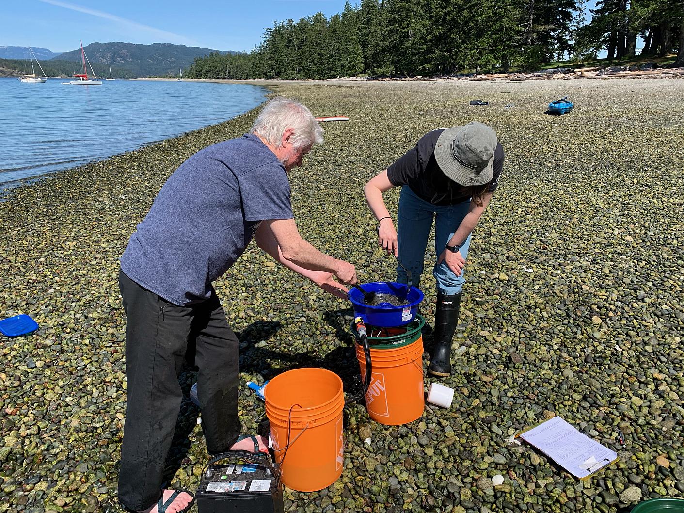
Team Quadra Vortexing on Rebbecca Spit by M Douglas 2021
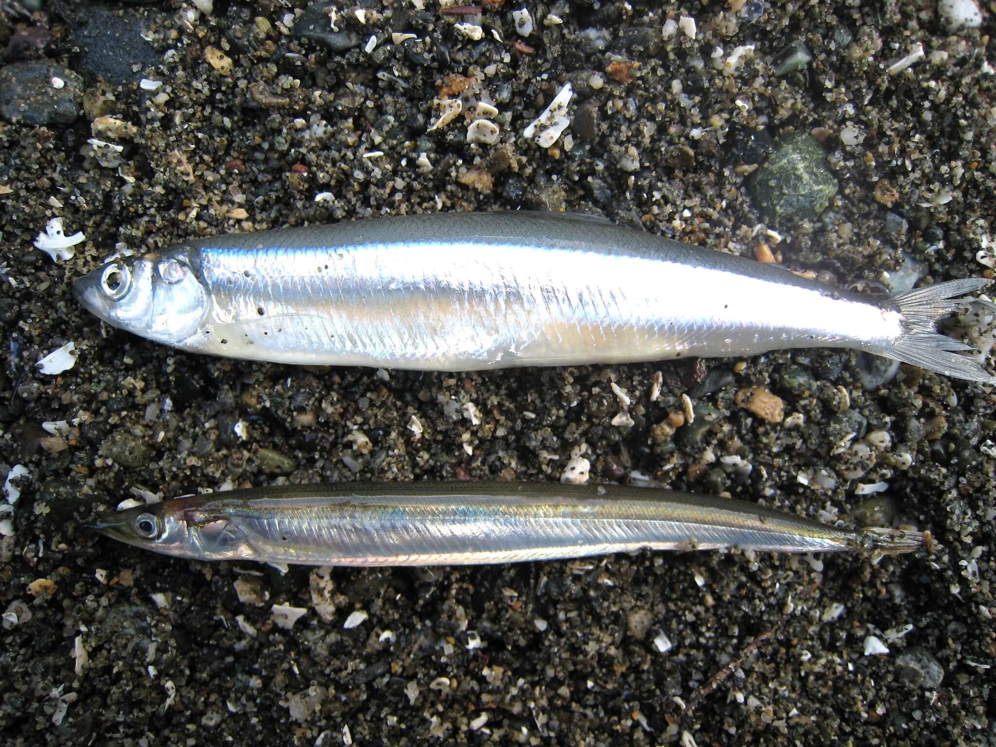
Surf smelt are forage fish, small schooling fish that help feed the marine food web. Surf smelt, along with Pacific sand lance, spawn on beaches and we know little about the locations or timing of these spawning events. Project Watershed has been surveying beaches for the presence of forage fish since 2019.
The primary spawning time for surf smelt is during the summer months, however they do spawn year round. Generally, these fish utilize the upper portions of the beach closer to the high tide line, whereas, Pacific sand lance are usually found below the high tide line.
Citizen scientists (volunteers) sample for surf smelt about every three weeks from May to September. The tides and moons play an important role in planning when sampling will occur as they play a role in when spawning occurs.
Surf smelt eggs are 1.0 – 1.2 mm in diameter, slightly larger and rounder than Pacific Sand Lance. They have a single sand grain attachment and are translucent. Pages 10 and 11 of the Citizen Science Manual have good images and descriptions of surf smelt eggs. With the summer heat, there is a potential of higher egg mortality for surf smelt during the heat of the day. Overhanging vegetation and beach wrack are important features that can help keep the eggs cool.
If you would like to help look for surf smelt eggs please contact Virginia East for more information.
We are always looking for local knowledge of where forage fish have been seen spawning. Use the link below to share any information you may have.
Related Posts
Mallard Creek Restoration Update for 2024
Restoration work in Mallard Creek will continue this year, including invasive removal, restoring connectivity, and trial planting of a new riparian species. Volunteer events starting in September 2024.
Volunteer at Kus-kus-sum Chamber of Commerce Event
We are showing Kus-kus-sum off to businesses in the Valley through a Chamber Business to Business event. We are looking for a few volunteers to assist with this event.
Coastal Plant Monitoring
Get involved with our new vegetation community science monitoring program!
Spring Field Trips
Throughout May and June Project Watershed will be taking elementary school classes out on field trips to learn about estuary and coastal ecology and to assist with planting and plant maintenance.
Working Together to Identify Forage Fish Spawning Beaches
This year marks the 5th year of a partnership between Comox Valley Project Watershed Society and North Island College on a long-term study to examine intertidal spawning habitats of forage fish in the northern Salish Sea.
Glen Urquhart Update – Spring 2024
Latest news from Glen Urquhart restoration progress for spring 2024.


