New eDNA Research
The article explains how they have developed and validated two assays for environmental DNA (eDNA) and that eDNA sampling is an effective method to detect Pacific sand lance and surf smelt, two local forage fish species, from small sand samples. This is a valuable finding as extensive visual surveys for eggs using large sand samples has been the technique used historically. In addition, visual survey methods only identify the location of eggs and does not assess other intertidal habitat use whereas eDNA sampling can reveal this important information.
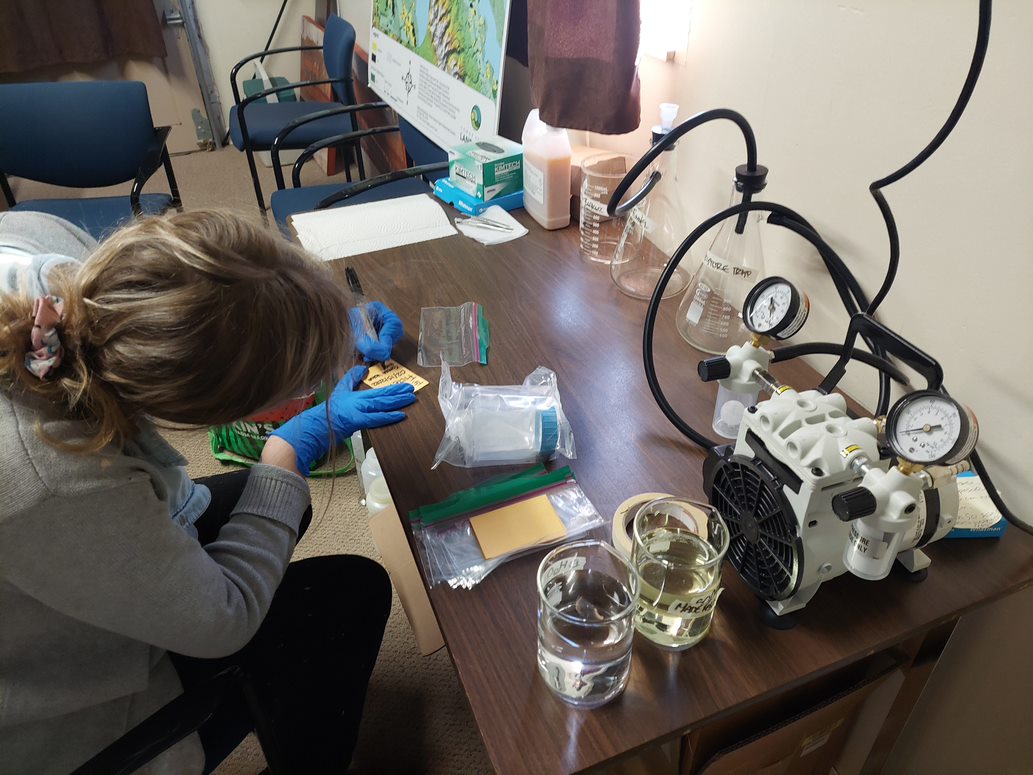
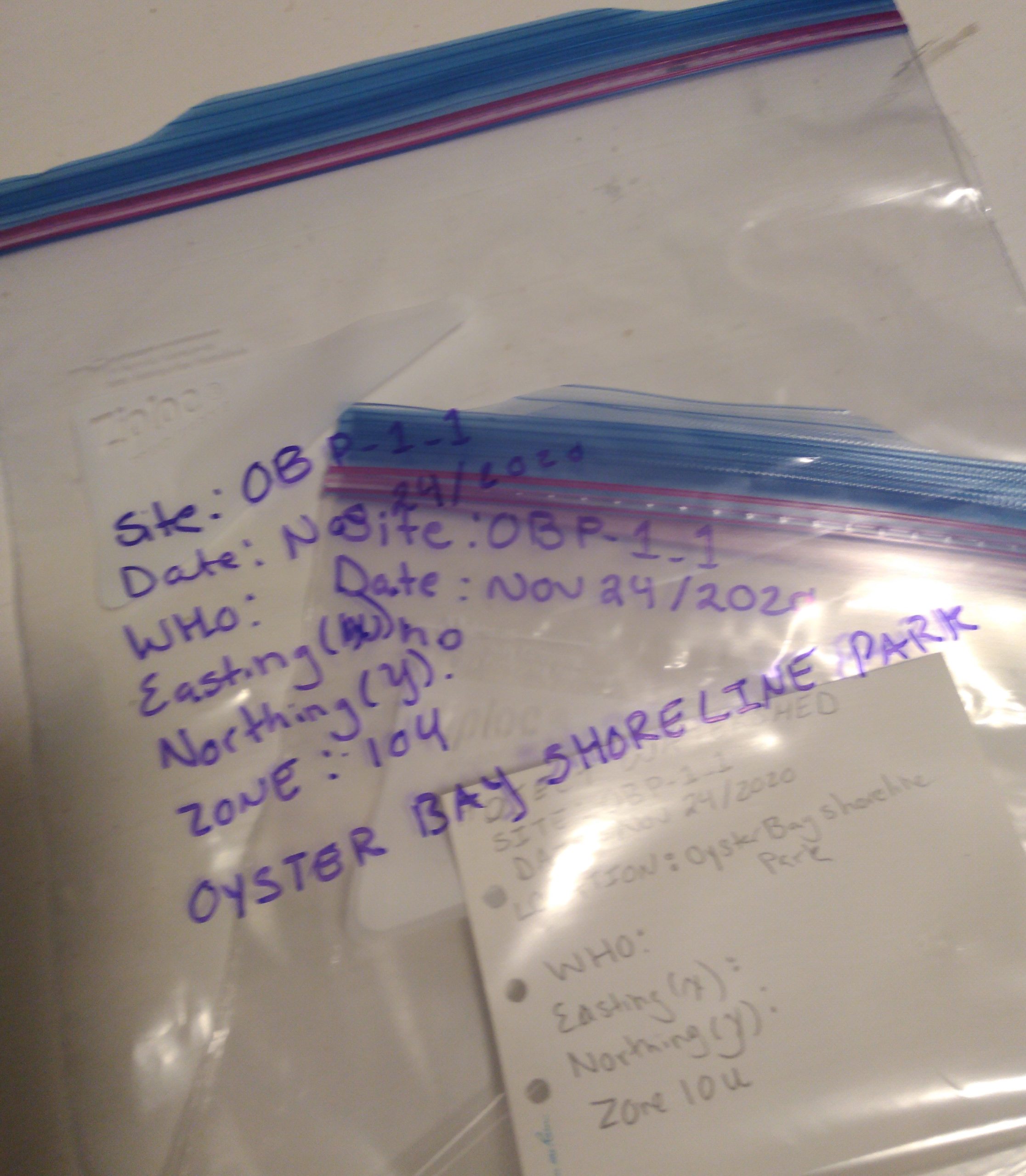
Project Watershed has been using eDNA as part of our forage fish sampling since 2019. eDNA is found on beaches and includes fish scales, mucus, and fecal matter. It is a “sterile” sample, meaning best efforts were made to collect sand samples where there was limited disturbance from humans and animals along the 30m sampling transect. Sampling is done at the high tide line of beaches.
eDNA sampling paired with the field methods of collecting a 4L bulk sample, sieving and vortexing the sample, and using a microscope for identification can further verify the habitat that Pacific sand lance and surf smelt are using as well as their timing windows for spawning.
They also found that in eDNA samples where surf smelt was detected, there may be overlapping substrate use between Pacific sand lance and surf smelt. This means that both species may be facing similar habitat conservation concerns.
Do you want to help us find forage fish eggs on beaches around the Comox Valley? Searching for forage fish eggs involves beach surveys and microscope work. You can sign up for both volunteer opportunities or focus on one of the two.
Related Posts
Fall and Winter Forage Fish Sampling
We’re gearing up for the fall/winter season of forage fish sampling!
Mallard Creek Riparian Planting
We will be planting native riparian species along a section of Mallard Creek that we recently cleared of invasive Reed canarygrass.
Fall Planting at Kus-kus-sum
We are looking for volunteers to assist us with planting native trees, shrubs, and marsh plants at Kus-kus-sum this fall!
A New Day for Forage Fish
Project Watershed and the Coastal Forage Fish Network (CFFN) are celebrating Surf Smet Day on October 25th! This adds another day on which to celebrate and raise awareness about beach spawning forage fish as Pacific sand lance are celebrated on a day in December.
Fall Work at Kus-kus-sum
We are looking for volunteers to assist us with weeding out invasive plants to make room for the native plants arriving later this fall!
Forage Fish Survey Techniques Workshop
The Coastal Forage Fish Network (CFFN) is hosting two one-day workshops to introduce development considerations and methods to survey for beach spawning forage fish for projects that may impact beach spawning forage fish.


