Kus-kus-sum Planting Take 2
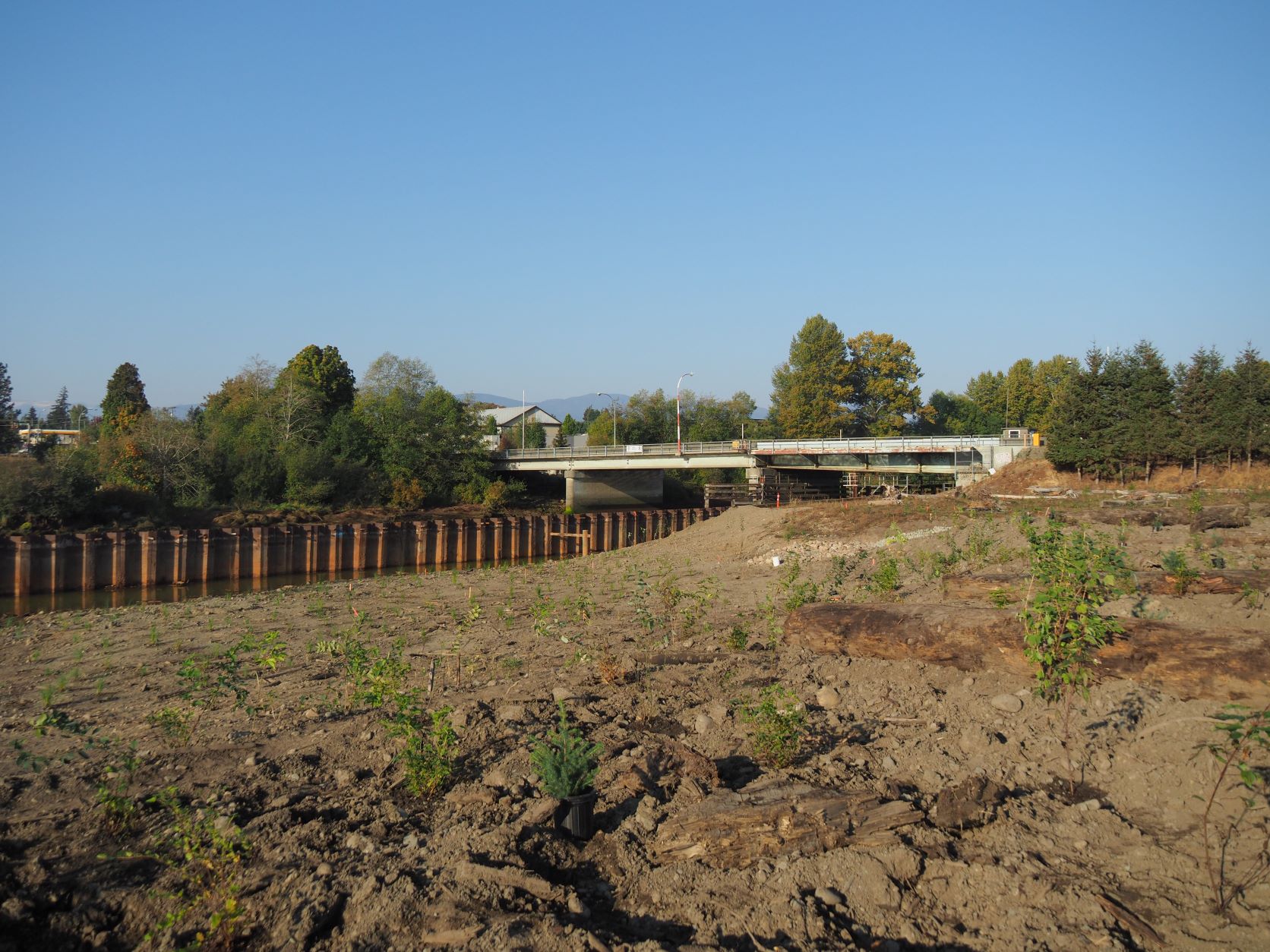
Planting at Kus-kus-sum in early October ~ Anne Franklin
Map of Location
Kus-kus-sum
GPS Coordinates: 49.697044, -125.078877
Date and Time
October 27, 28, 29, 2022, 9:00 am – 3:30 pm
Location
Kus-kus-sum, 1901 Comox Road – Enter the site by the gate at the south end of the site
Description
We have another 2,000 plants arriving at the Kus-kus-sum site next week and are looking to get them all in the ground before the end of October. The plants will be a mix of upland trees and shrubs and marsh sedges. Conditions may get muddy. The site is bumpy and uneven, so we ask that you are physically able to navigate rough terrain and engage in planting activities such as digging holes and lifting plants.
We will have school groups join us for the mornings and volunteers will be asked to help students as nesseccary. This may mean that adults do more of the digging. Our current dates are Thursday (27), Friday (28) and Saturday (29). The morning shift will be from 9 am to 12 noon and the afternoon shift 12:30 pm to 3:30 pm. You may signup for one or both shifts a day. We will be limiting the number of participants to 15 per shift. We will have water (to fill water bottles) and snacks on site for volunteers.
Please:
- Dress for the weather
- Wear sturdy shoes or boots
- Bring a water bottle
Note: There will still be plants to plant next spring as more of the site is regraded to the correct elevations for the plants.
Volunteer Sign Up
October 27th, 2022
October 28th, 2022
October 29th, 2022
Related Posts
Mallard Creek Restoration Update for 2024
Restoration work in Mallard Creek will continue this year, including invasive removal, restoring connectivity, and trial planting of a new riparian species. Volunteer events starting in September 2024.
Volunteer at Kus-kus-sum Chamber of Commerce Event
We are showing Kus-kus-sum off to businesses in the Valley through a Chamber Business to Business event. We are looking for a few volunteers to assist with this event.
Coastal Plant Monitoring
Get involved with our new vegetation community science monitoring program!
Spring Field Trips
Throughout May and June Project Watershed will be taking elementary school classes out on field trips to learn about estuary and coastal ecology and to assist with planting and plant maintenance.
Working Together to Identify Forage Fish Spawning Beaches
This year marks the 5th year of a partnership between Comox Valley Project Watershed Society and North Island College on a long-term study to examine intertidal spawning habitats of forage fish in the northern Salish Sea.
Glen Urquhart Update – Spring 2024
Latest news from Glen Urquhart restoration progress for spring 2024.


