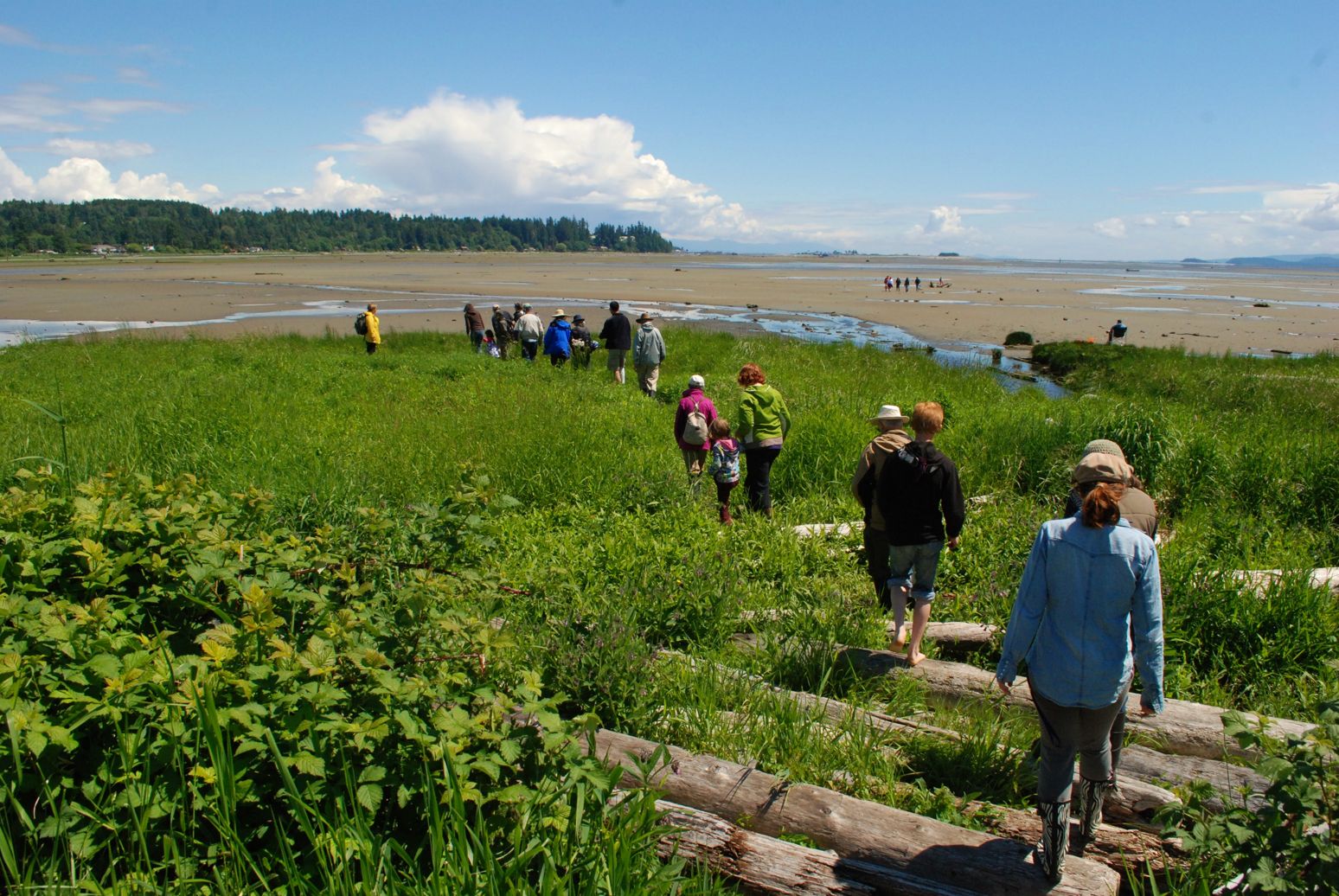
Earth Week Watershed Walk, K’ómoks Estuary to Kus-kus-sum
Walking down to the Estuary by Crystal Norman
Map of Location
Location
Park Cafe – 102 20th St, Courtenay, BC V9N 2B5
Date and Time
April 23
10:00am to 12:00 noon
Location
Courtenay Airpark, meeting at the Mansfield Drive Parking Lot next to the Rotary Skypark.
Description
Come walk with us for Earth Day and learn about the wonders of shoreline habitats. Project Watershed’s own Jay Baker-French and Caila Holbrook will lead the way, discussing how these waterside environments support fish and wildlife, mitigate the effects of climate change and make life on Earth so amazing! They will also point out important cultural and ecological sights along the way including the thousands of remnants of Ancient Fish Traps that still exist in the K’ómoks Estuary. Both Caila and Jay have Masters in Environmental Conservation and have intimate experience working with Comox Valley ecosystems.
We will meet at Mansfied Drive Parking Lot, visit the mudflats of the K’ómoks Estuary and stroll along the Riverway walk and then cross the 17th Street Bridge to the Kus-kus-sum site. Please bring gumboots, dress for the weather and carry a water bottle. This is a free event, however, donations will be accepted and appreciated!
Registration
Related Posts
Mallard Creek Restoration Update for 2024
Restoration work in Mallard Creek will continue this year, including invasive removal, restoring connectivity, and trial planting of a new riparian species. Volunteer events starting in September 2024.
Volunteer at Kus-kus-sum Chamber of Commerce Event
We are showing Kus-kus-sum off to businesses in the Valley through a Chamber Business to Business event. We are looking for a few volunteers to assist with this event.
Coastal Plant Monitoring
Get involved with our new vegetation community science monitoring program!
Spring Field Trips
Throughout May and June Project Watershed will be taking elementary school classes out on field trips to learn about estuary and coastal ecology and to assist with planting and plant maintenance.
Working Together to Identify Forage Fish Spawning Beaches
This year marks the 5th year of a partnership between Comox Valley Project Watershed Society and North Island College on a long-term study to examine intertidal spawning habitats of forage fish in the northern Salish Sea.
Glen Urquhart Update – Spring 2024
Latest news from Glen Urquhart restoration progress for spring 2024.


