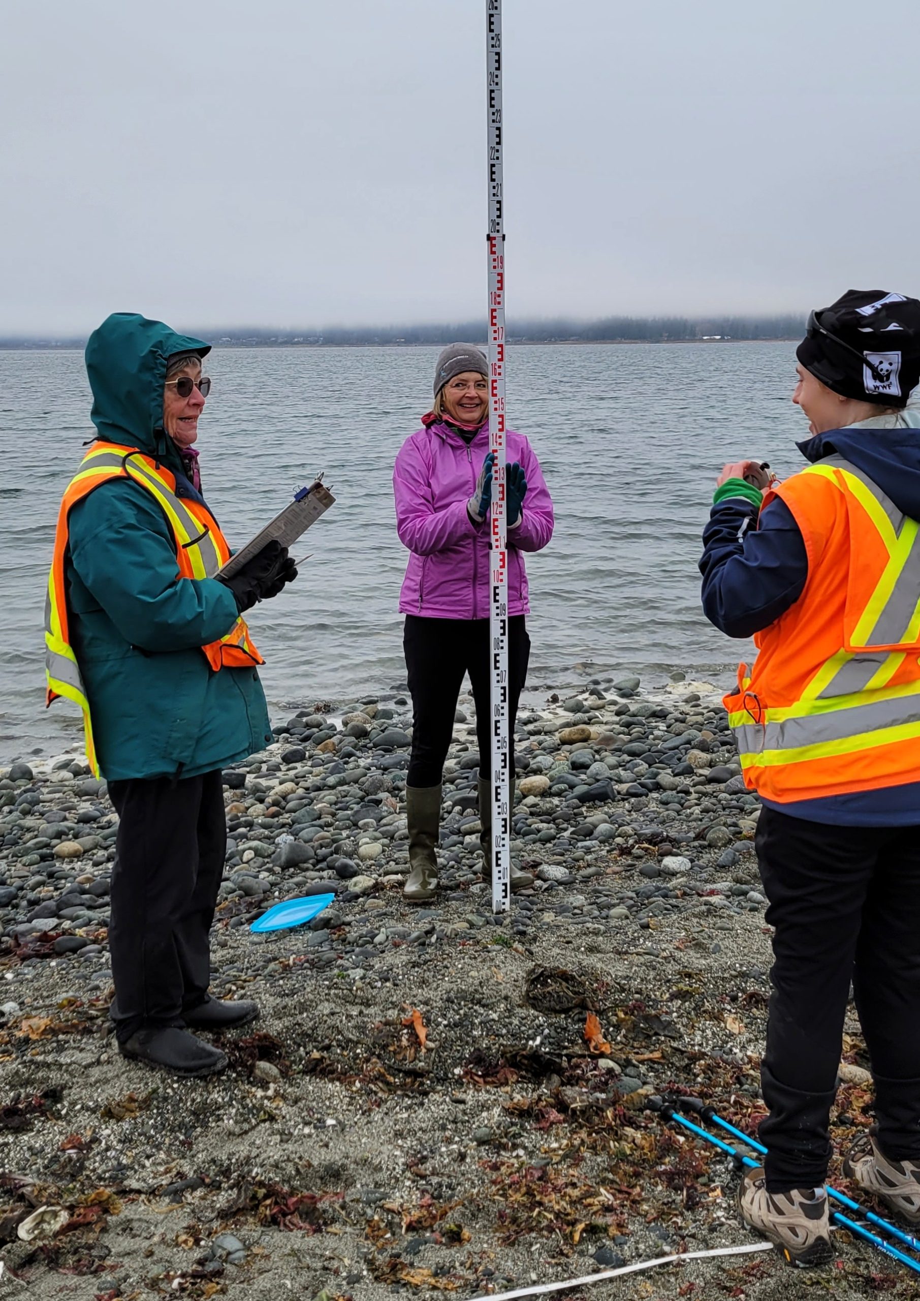
Fall and Winter Forage Fish Sampling
Winter Forage Fish sampling ~ V. East
Map of Location
Location
Oyster Bay Shoreline Park
Location
Frank James Park
Location
Goose Spit
Location
Air Force Beach
Kye Bay
Kye Bay
Dates
Comox Valley: January 15, February 11
Blitz: December 9 – 13
Campbell River: February 10
Blitz: November 28 & December 4
Please note: the schedule is subject to change according to tides and weather. The time varies with tides – Virginia will email participants with time closer to date
Locations*
Campbell River – Oyster Bay Shoreline Park and Frank James Park
Comox Valley – Air Force Beach, Goose Spit and Kye Bay (Surf Smelt Day only)
*Note: sampling locations subject to change this winter
Description
Volunteers will participate in community science by sampling beaches for beach spawning forage fish. We then process the sample down from a 4L container to an approximate 500mL container using a gold panning process referred to as sieving and vortexing.
These smaller samples are investigated under a microscope to look for the eggs of surf smelt (summer) and Pacific sand lance and surf smelt (winter). Project Watershed is part of the Coastal Forage Fish Network. This network is engaged in citizen science, research and advocacy across Vancouver Island, the Sunshine Coast, and along the beaches of Vancouver. Project Watershed has been involved with this project since the fall of 2019 and we have discovered some important beaches for beach spawning forage fish. This work is supported by funds from the BC Salmon Restoration and Innovation Fund (BCSRIF).
We made a map showing sampling locations from previous seasons and where we found eggs. You can check it out here!


