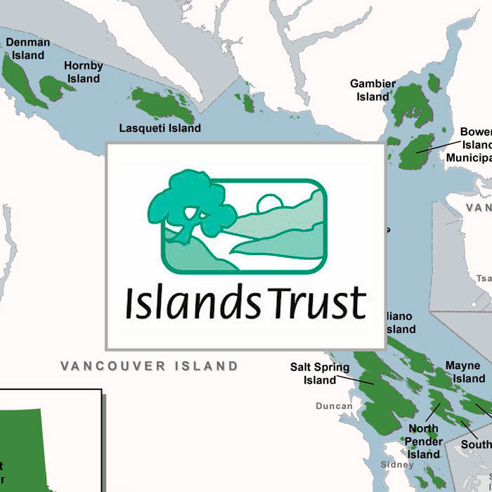
Islands Trust Maps
Click Here for Map
Map Published with: Pdf’s and Terrestrial & Predictive Ecosystem Mapping
Related Posts
Fall and Winter Forage Fish Sampling
We’re gearing up for the fall/winter season of forage fish sampling!
Mallard Creek Riparian Planting
We will be planting native riparian species along a section of Mallard Creek that we recently cleared of invasive Reed canarygrass.
Fall Planting at Kus-kus-sum
We are looking for volunteers to assist us with planting native trees, shrubs, and marsh plants at Kus-kus-sum this fall!
A New Day for Forage Fish
Project Watershed and the Coastal Forage Fish Network (CFFN) are celebrating Surf Smet Day on October 25th! This adds another day on which to celebrate and raise awareness about beach spawning forage fish as Pacific sand lance are celebrated on a day in December.
Fall Work at Kus-kus-sum
We are looking for volunteers to assist us with weeding out invasive plants to make room for the native plants arriving later this fall!
Forage Fish Survey Techniques Workshop
The Coastal Forage Fish Network (CFFN) is hosting two one-day workshops to introduce development considerations and methods to survey for beach spawning forage fish for projects that may impact beach spawning forage fish.


