produced by Sensitive Habitat Stewardship Program Staff
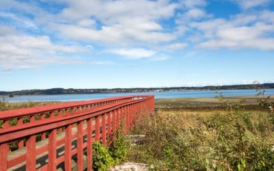
Baynes Sound Watershed
read more
Working with the K’ómoks Nation towards Q’waq’wala7owkw on their unceded territory.

Working with the K’ómoks Nation towards Q’waq’wala7owkw on their unceded territory.
produced by Sensitive Habitat Stewardship Program Staff
produced by Sensitive Habitat Stewardship Program Staff
produced by Sensitive Habitat Stewardship Program Staff
produced by Sensitive Habitat Stewardship Program Staff
produced by Sensitive Habitat Stewardship Program Staff
produced by Sensitive Habitat Stewardship Program Staff
produced by Sensitive Habitat Stewardship Program Staff
An atlas of nesting sites for bald eagles, osprey, other raptors, and herons. Nesting records are collected from government, industry, conservation/naturalist groups, and the public, in an effort to protect nest trees, and habitat, as well as inform land-owners and local residents interested in eagles or osprey.
A collection of detailed maps and reports on sensitive habitats.
Maps of Island trust areas, ecosystems, land use, and crown land mapping.
ICIS is a leader in the sharing of geospatial information through member contribution.
Interactive maps that explore the K’omoks estuary species, habitats, restoration efforts, and history.