Technician Report – Tuesday, September 28th
Sediment assessment ~ By Jamie Lund
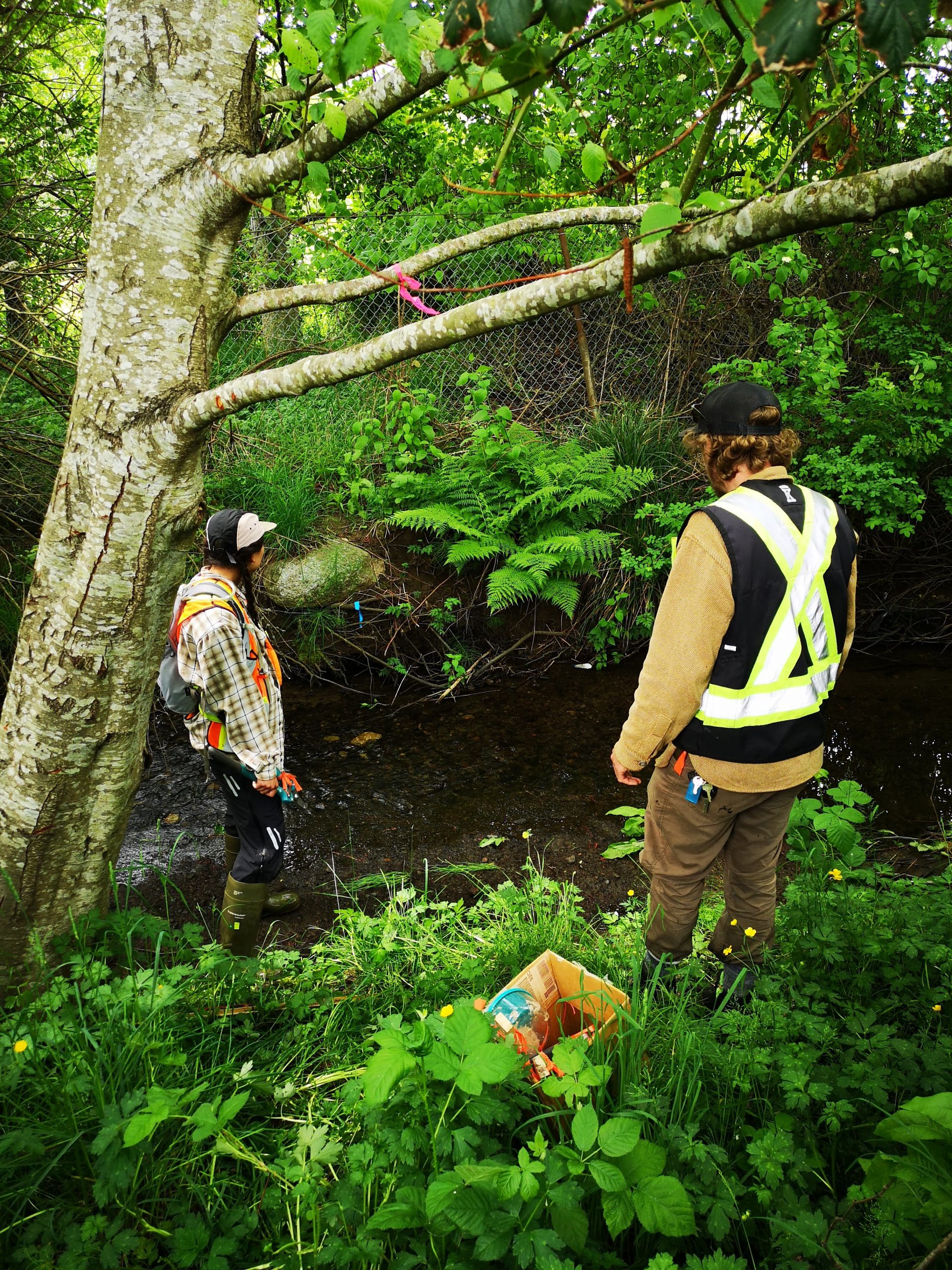
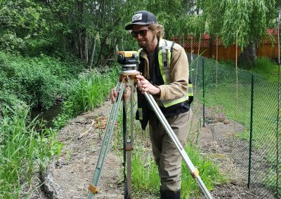
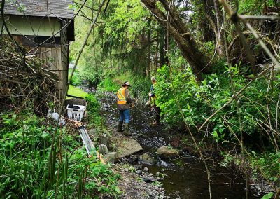
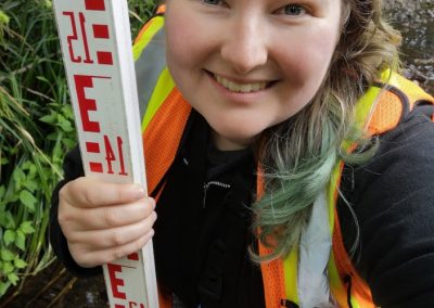
The main data collected was depth, width, high water marks, sediment type, presence of invasive species, and areas for improvement. These qualities were measured every ten meters along the stream. The physical features of the stream (depth, width, high water marks, etc) were then graphed to give a stream profile diagram. This diagram will help us identify the types of restoration that would be beneficial and areas where it is most needed.
For instance, Glen Urquhart collects a large amount of water because the surrounding area has large impermeable surfaces, like concrete, as it is an urban stream. When the water load is high, it causes high flows and turbidity which wash away sediment and increase erosion. Essential gravel substrate for salmon spawning can be lost during these periods. Our profile diagram will help identify the areas where restoration projects designed to slow down flows and retain spawning sediment are most beneficial.
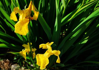
Yellow flag iris was found at Glen Urquhart during the stream survey. Yellow flag iris is an issue in wetland areas. It spreads quickly via rhizomes and outcompetes other plants. It also causes a barrier to fish movement if it establishes in the center of the stream. Removal of yellow flag iris is tricky, because if pieces of the plant are left behind it can reestablish itself. These pieces can also travel downstream, creating a larger distribution of the plant. At Glen Urquart it was found in small enough numbers that we could gently pull whole plants out of the stream.
If you find yellow flag iris in the community, you can report your sightings on iNaturalist. If it is located on your property, please consider careful removal to prevent further spread. More details can be found on the Invasive Species Council of BC (ISCBC) website.
With the help of the Healthy Watersheds Initiative funding Project Watershed has hired environmental technicians to assist with our projects over the summer and early fall. The Healthy Watersheds Initiative is delivered by the Real Estate Foundation of BC and Watersheds BC, with financial support from the Province of British Columbia as part of its $10-billion COVID-19 response. Jamie Lund, one of these technicians, will be posting a brief report every Tuesday to update the Project Watershed community on what they have been up to.
Related Posts
Eelgrass Update
In the fall our restoration team surveyed the three eelgrass beds which were planted with the help of our volunteers back in June. The beds are looking healthy!
Kus-kus-sum: End of Season Wrap-up
Now that we have put the Kus-kus-sum site to bed for the winter, we wanted to give you all a little update on how things progressed this season – lots happened!
Kate McKeown
Meet our new Forage Fish Technician!
Greenshores at Dyke Road Park – Reimagining a Park
On September 20 and 21, over 20 people were on site to help with planting at the Comox Valley Regional District’s (CVRD) Dyke Road Park redevelopment project.
Gartley Beach Green Shores for Homes Project
Project Watershed is teaming up with the CVRD and the Stewardship Centre for BC to do some shoreline restoration at Gartley Beach in Royston.
Fall and Winter Forage Fish Sampling
We’re gearing up for the fall/winter season of forage fish sampling!


