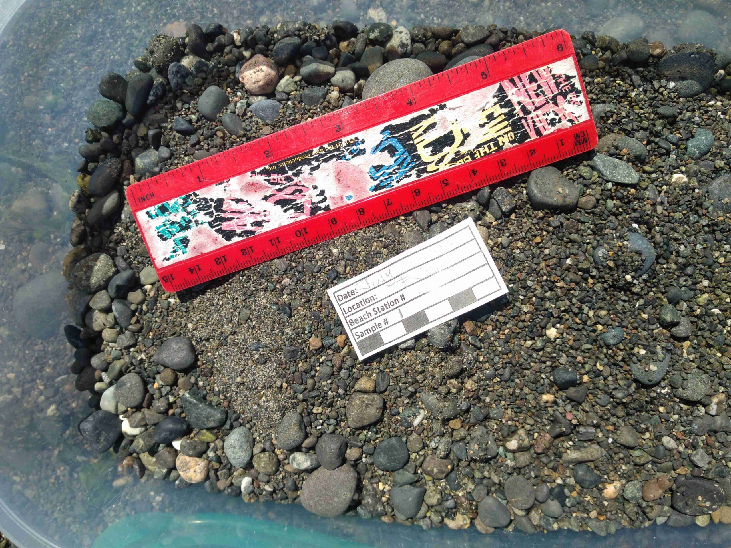
Project Watershed’s Guide to Documenting Forage Fish Habitat
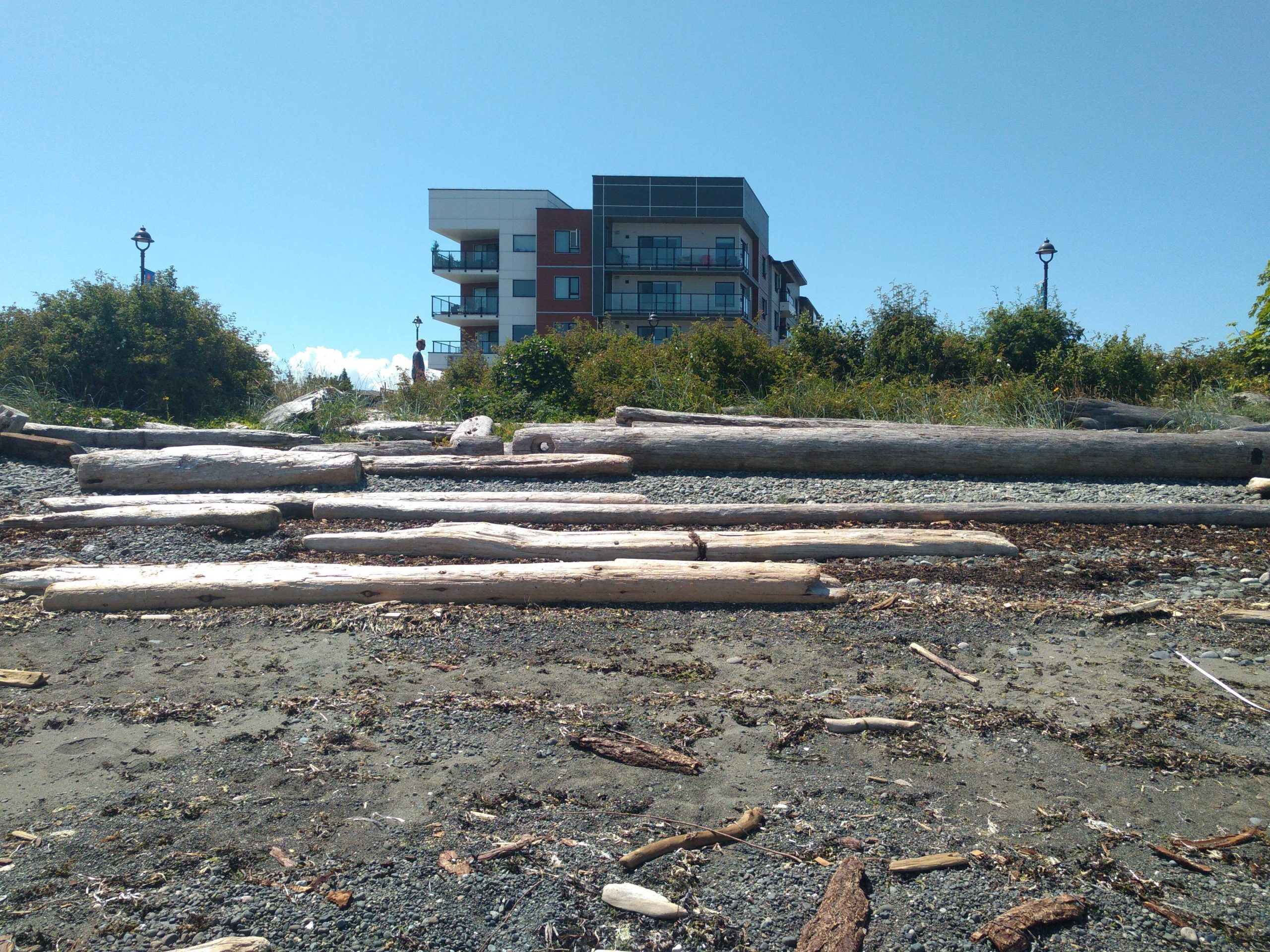
- Backshore and Landmark
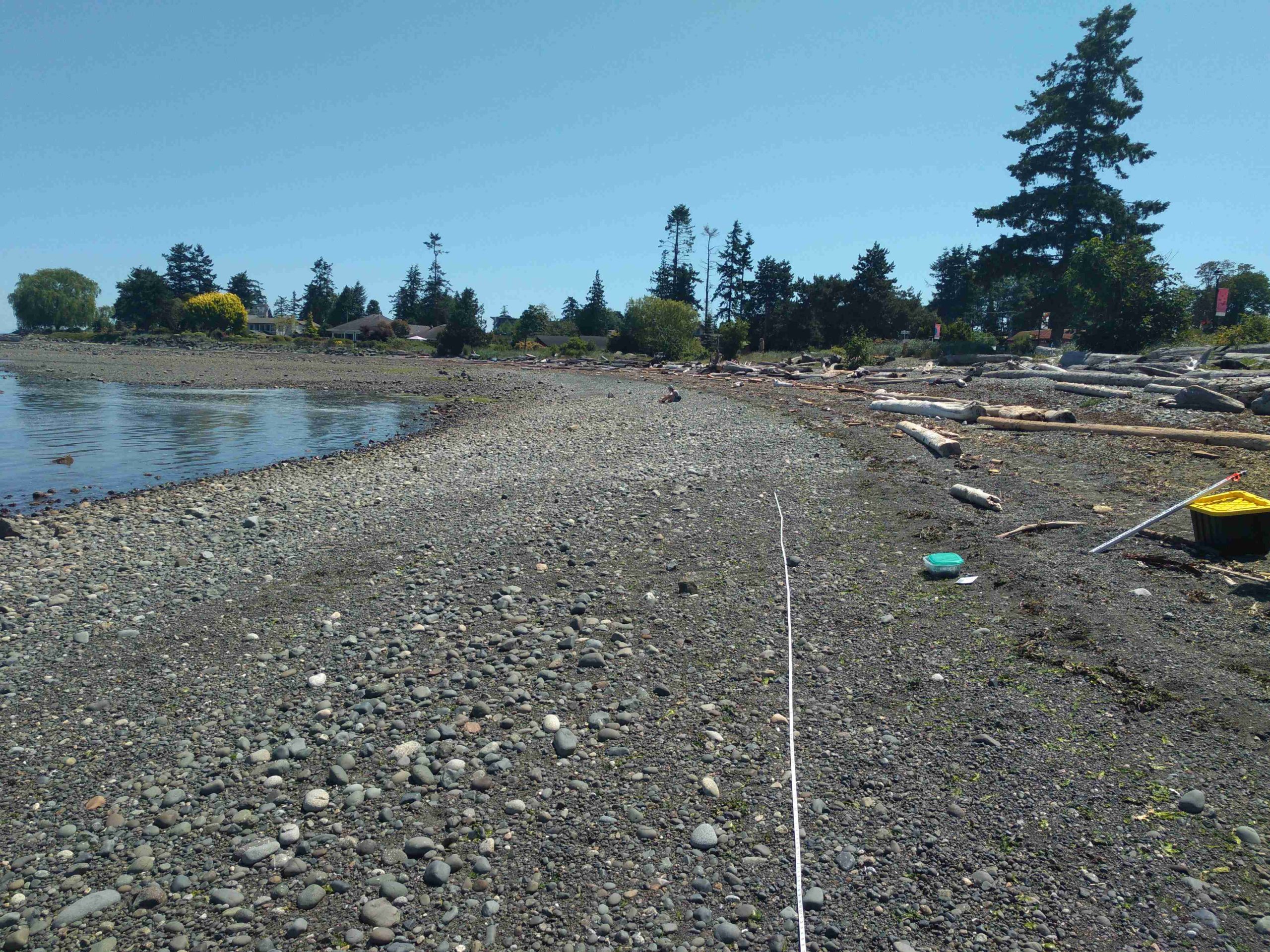
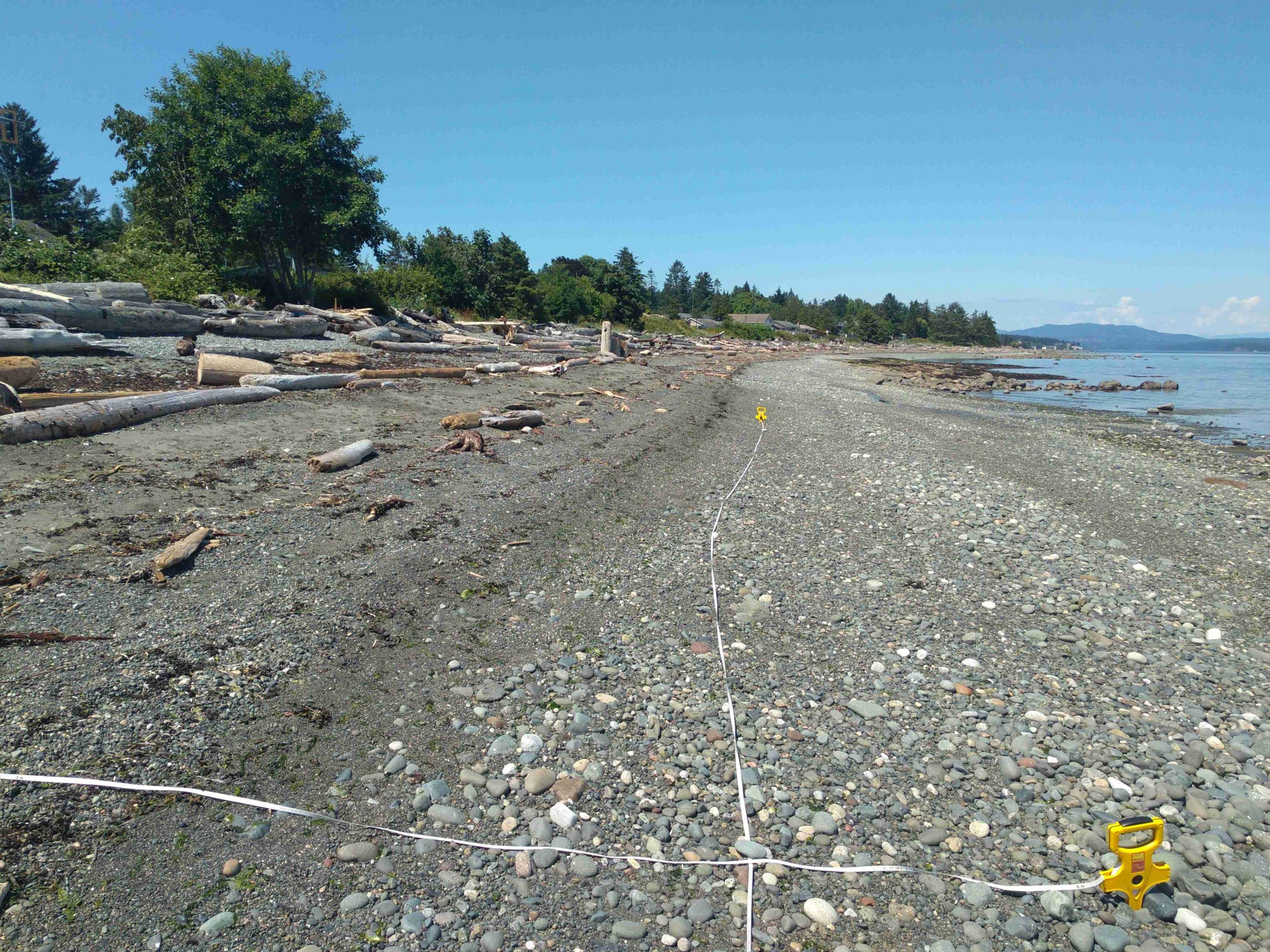
- Right shore
- Foreshore (looking out at the ocean)
- Left shore
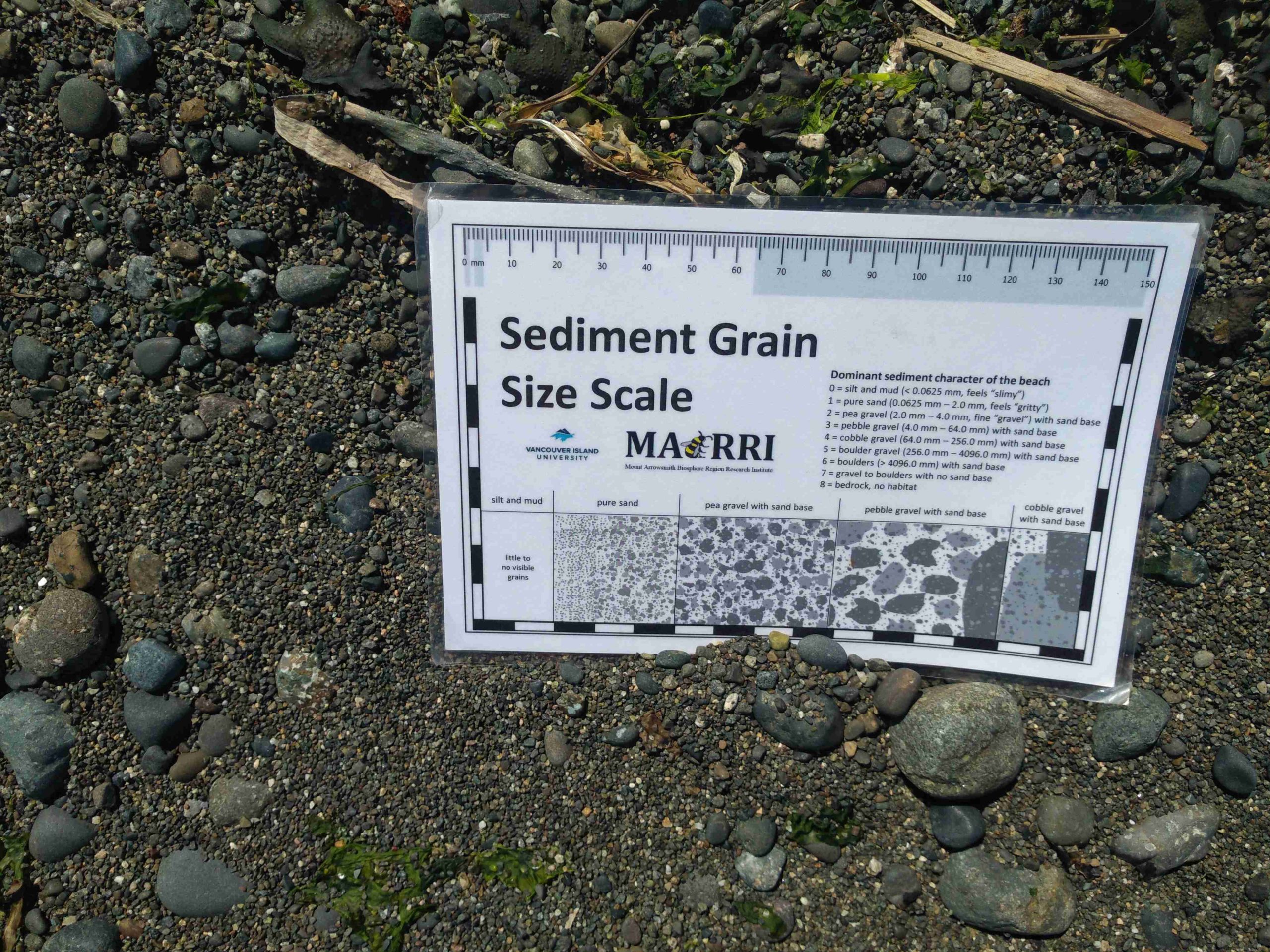
- Sediments (use sediment card against the sand)
- 4L container with label and an object for scale
We have also adopted the following naming conventions for these photos.
Site photo labeling scheme: Site-Station_sample_aspect_Date(YYYYMMDD)
Example: FJP-1_1_Foreshore_20210809 – This translates as the forshore of Frank James Park, station 1, sample 1 on August 9th, 2021.
Egg photo labeling scheme: DATE of detection (YYYYMMDD)_Site-Station_Sample_Species_Alphanumeric number (for if there are multiple photos for the same date (e.g., A1, A2)
Example: 20201130_KB-1_1_PSL_A3 – This translates as the 3rd photo of eggs found at Kye Bay, station 1, sample 1 of Pacific sand lance, taken on November 30, 2020.
This method aids Project Watershed in filing photos and analyzing them for changes due to seasonality, weather events and time. We kindly ask groups to submit photos and datasheets immediately after each sampling event.
We have included an example of a set of labeled photos on this page for your reference. All photos have been taken by our Forage Fish Research Assistant, Virginia East.
Photo Documentation of Frank James Park Beach
Photo Documentation of Eggs
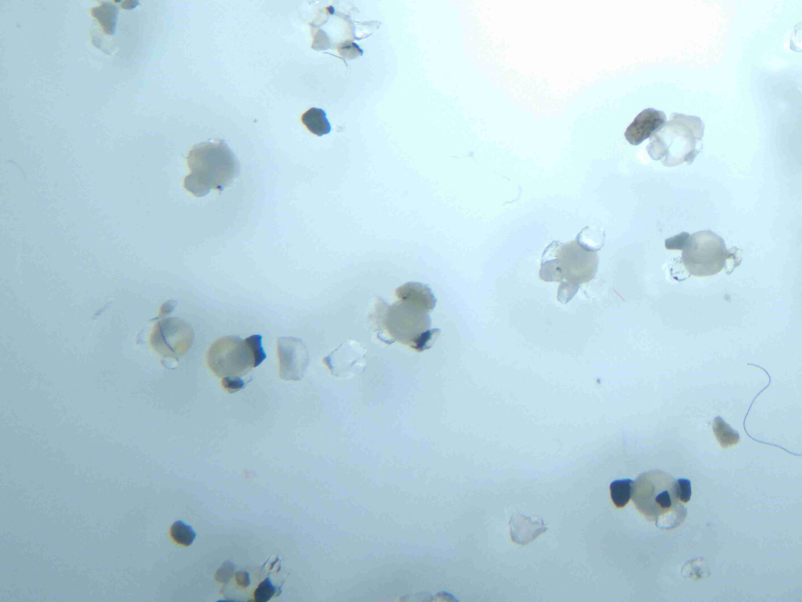
20201130_KB-1_1_PSL_A3
Related Posts
Eelgrass Update
In the fall our restoration team surveyed the three eelgrass beds which were planted with the help of our volunteers back in June. The beds are looking healthy!
Kus-kus-sum: End of Season Wrap-up
Now that we have put the Kus-kus-sum site to bed for the winter, we wanted to give you all a little update on how things progressed this season – lots happened!
Kate McKeown
Meet our new Forage Fish Technician!
Greenshores at Dyke Road Park – Reimagining a Park
On September 20 and 21, over 20 people were on site to help with planting at the Comox Valley Regional District’s (CVRD) Dyke Road Park redevelopment project.
Gartley Beach Green Shores for Homes Project
Project Watershed is teaming up with the CVRD and the Stewardship Centre for BC to do some shoreline restoration at Gartley Beach in Royston.
Fall and Winter Forage Fish Sampling
We’re gearing up for the fall/winter season of forage fish sampling!


