OUR
HISTORY
A history of Project Watershed from 1993 to 2023
Project Watershed, a non-profit society, was incorporated in 1993 with a focus on mapping the sensitive habitats in Comox Valley.
Project Watershed’s Original Logo
In 1992, The Department of Fisheries and Oceans (DFO) Coho Steering Committee released their final report called, “COHO – Planning Process and Recommendations”. This report attempted to address the challenge of declining coho stocks in the Strait of Georgia. Their recommendations included new strategies for harvest management, increased stream escapement assessment, and extensive work in habitat monitoring, mapping and protection. They also recommended a focus on stream stewardship reaching out to schools and the general public. Key among their recommendations was that pilot projects should be started in both the Comox and Cowichan watershed areas.
Later that year, DFO sponsored a symposium that discussed the health of local watersheds and other water-related issues in the Comox Valley. Chris Hilliar, a DFO employee from the Puntledge River Hatchery, presented a proposal for a pilot project in community stewardship of local watersheds. Chris encouraged a number of concerned participants from the forum to create a non-profit society for this purpose. These individuals became the founding directors of the Comox Valley Project Watershed Society. The society was incorporated in February, 1993, with the founding board members Norm Sieffert, Maye Davis, Bunny Shannon, Len Morrow, Wendy Kotilla, and Les Cartwright. The first two staff people were Don Chamberlain, a fisheries technician, and Michele Jones, a local ecologist. All these people are owed a debt of gratitude for their tireless efforts to keep the society moving forward in the early years.
A vacant DFO hatchery building on the Tsolum River, located at Headquarters Creek, was the organization’s first physical space. The society ran the hatchery, raising and releasing about 110,000 pink salmon fry in March 1994 and again in March 1995. Our prime focus, however, was to utilize the building as an educational centre – the Tsolum River Ecology Centre. The centre was made available to school groups, and the general public. It was also frequented by Tsolum River residents that would eventually form our first unofficial streamkeepers group. We proactively created the “The Morrison – Millard Creek Dippers” group to monitor stream health and this was the beginnings of what would eventually become Project Watershed’s Streamkeepers Program. Our staff helped develop and test several modules of the “The Streamkeepers Handbook” produced by DFO.
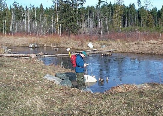
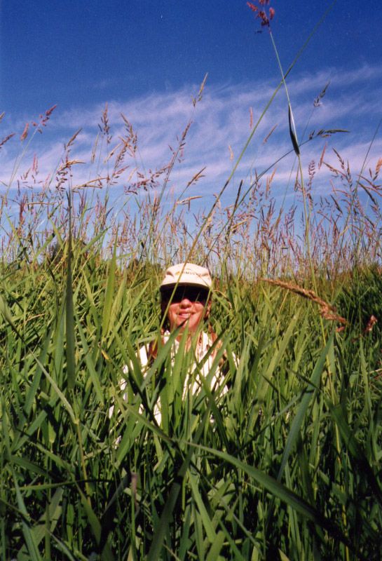
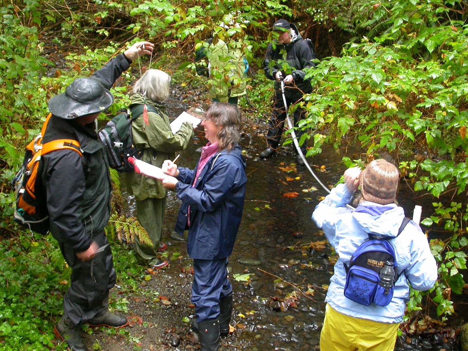
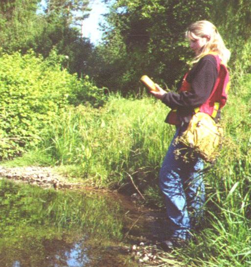
In 1994, Project Watershed also initiated a mapping, assessment and water quality monitoring program, and identified forty-two different valley salmon streams that needed attention. Over the next few years it became apparent that there was inadequate or non-existent geographical data on streams. In response to this, we built out our mapping initiative on those 42 streams and began the Watershed Inventory project which collected data until 1996.
Don Chamberlain
Michele Jones
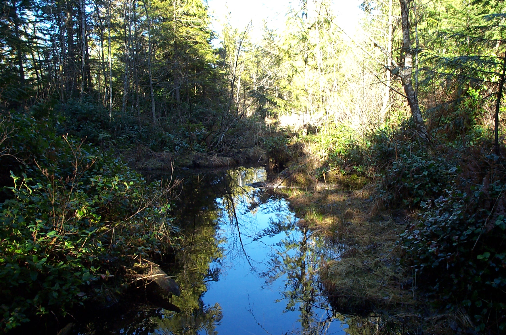
Morrison Creek
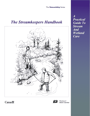
Streamkeepers handbook
Early on, Project Watershed established a volunteer-run stewardship library which still exists in the Conservation Centre today. We also participated in the Baynes Sound Round Table from 1994-2003 and created the Baynes Sound Action Group with funding from Environment Canada. Working since 1995 in collaboration with various Baynes Sound stakeholders, Project Watershed delivered numerous water quality remediation and monitoring projects to identify and clean up non-point source pollution in Baynes Sound.
In 1995, the Comox Valley Watershed Assembly was formed and supported by Project Watershed administratively for several years. Many new stewardship groups were spawned from this, one such group, which we supported for two years before it got on its own feet, was the Tsolum River Restoration Society.
In 1996, we received charitable status and finalized the Urban Stream Stewardship Workplan. We also began installing fish habitat signs on all streams in the Comox Valley, an initiative that lasted until 2008.
In 1996, Project Watershed also began offering Streamkeeper and Wetlandkeeper courses. The Agricultural Hot Spots Program was developed to examine issues concerning agriculture and stream water quality and encourage and support stream friendly agricultural practices. At this time, we also produced a 5-year strategic plan that spanned from 1999 to 2004.

Streamkeepers at Brooklyn Creek 1996
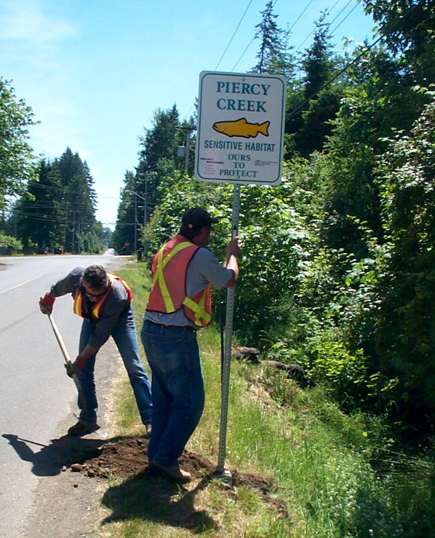
Piercy Creek sign installed on Arden Road
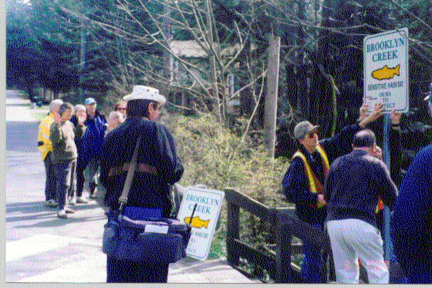
Brooklyn Creek sign installation
Tsolum River Restoration Society Logo
Streamkeepers by Dave Ingram
In 1999, our work on stream health led to the development of the Sensitive Habitat Stewardship program. Under the program we collected data, which is considered some of the best quality data created for municipal planning purposes across the province, using the Sensitive Habitat Inventory and Mapping (SHIM) Methodology. At one point we had 12 Mapping Technicians employed under Don Chamberlain, SHIM expert, with this initiative. Working with Brad Mason, a DFO Senior Habitat Biologist, our staff helped establish SHIM as a province-wide standard method for inventory and mapping of salmon habitat in watersheds, creating the accurate data required for better urban planning around locations of salmon streams. Data for the whole province using the SHIM methodology can be found online at Community Mapping Network – SHIM and the locally collected data is also maintained in the Comox Valley Regional District’s web-based GIS called iMap.
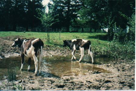
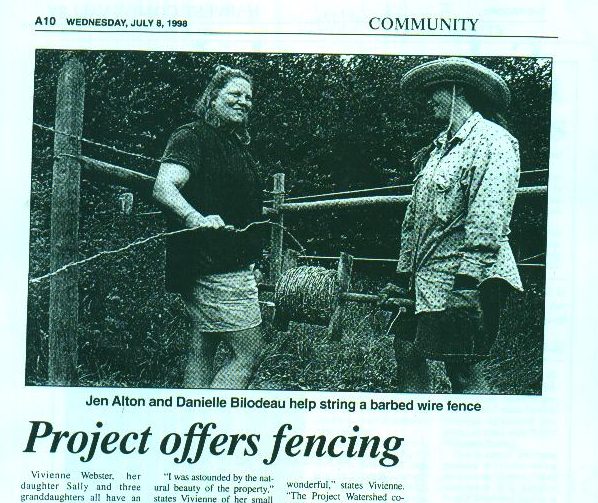
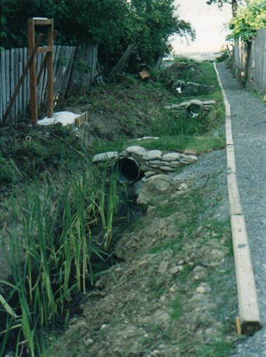
 In 1999, we established the Comox Valley Streams Stewardship Program and Comox Harbour Marine Water Quality Monitoring Project and implemented the Boater Pump-out and Education Project which lasted until 2000. Biofiltration wetlands to deal with stormwater runnoff before it entered the ocean were created at Ship’s Point in 1999 and Amber Way in 2001. Odette Pinho’s Master Thesis on the State of the Sound was also produced in 1999 and lead to many actions we called The Sound Stewardship Initiative, which were carried out between 2000 and 2003. Phase I and II of the State of the Sound project was undertaken focusing on water quality. As a result of this work 300 areas of cross-contamination, where underground sewer pipes were connected to storm water drains, were found and rectified, septic education was provided and livestock were fenced out of creeks. The Business Partners for Clean Water program was also started in this period.
In 2003 an Executive Director was hired via short-term grant funding. The grant was not renewed and Project Watershed once again was back to square one, with just project-based funding as a source of revenue.


Stream Mapping
Cows muddying up stream
Fencing initiative article
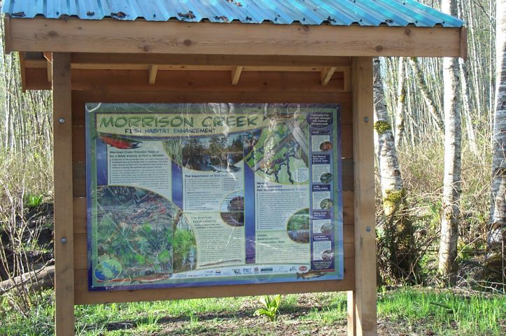
Morrison Creek Signage
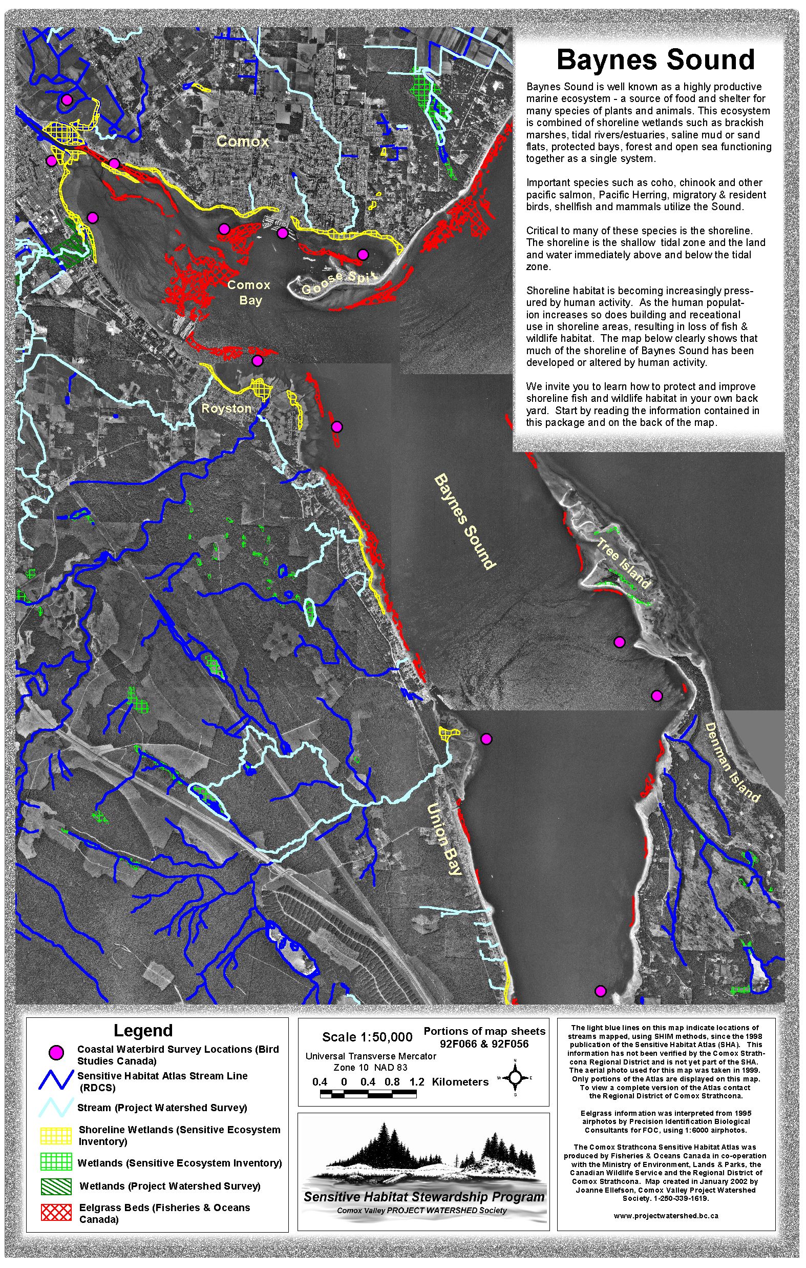
Baynes Sound Map
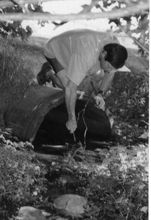
Storm drain water quality testing
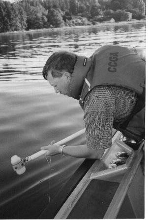
Baynes Sound water quality testing
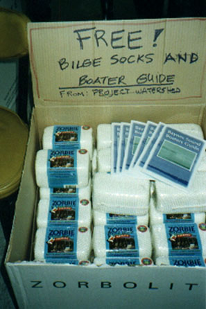
Boater support materials
Latifolia Lane Biofiltration Wetland

Puntledge River Projects undertaken by Project Watershed
In 2005, Project Watershed developed a second strategic plan covering 2005 to 2010 with a goal to support the efforts of other stream stewardship groups work to improve watershed health by:
-
- Providing equipment, mapping and library resources, meeting space and training to existing groups.
- Continuing to assist in the formation of new stewardship groups.
- Providing Streamkeeper and Wetlandkeeper courses.
- Hosting workshops that may result in an opportunity to create new stewardship groups.
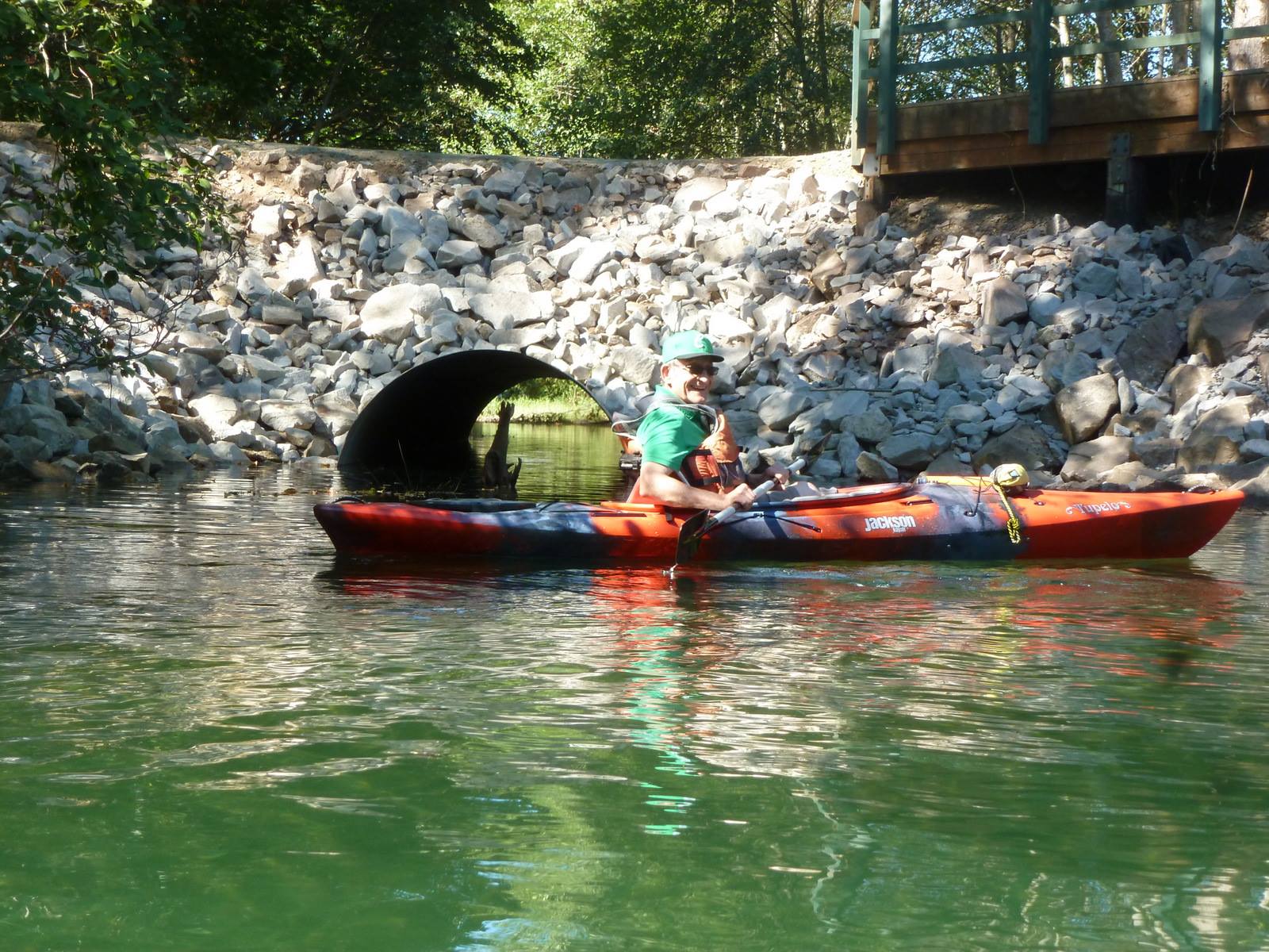
In 2006-07, Project Watershed moved out of the Manor in Comox and into offices on 5th street in Courtenay above the Golden Carriage sharing offices with the Comox Valley Land Trust and Tsolum River Restoration Society. The Stewards of the Puntledge Watershed Workshop Series was launched during this time to protect the drinking water source in the Comox Valley. Project Watershed, with funding from what was then called the Bridge Coastal Restoration Program (now the Fish and Wildlife Compensation Program), employed local biologists and environmental technicians and embarked on what would be come a long term concerted effort to enhance the Puntledge River for salmon. Over 20 projects were undertaken in the river over an 8-year period, including modifying Fisheries and Oceans hatchery operations to improve the success of endangered Chinook stocks. For more information on these projects check out our Puntledge River Reports. Interpretive signs for the Puntledge River were also created and installed as part of this effort.
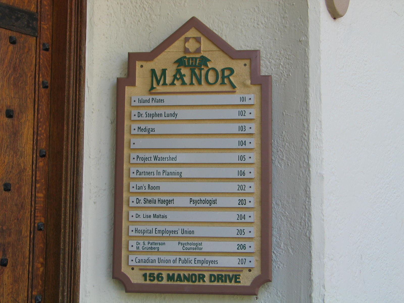
Project Watershed’s Office at the Manor
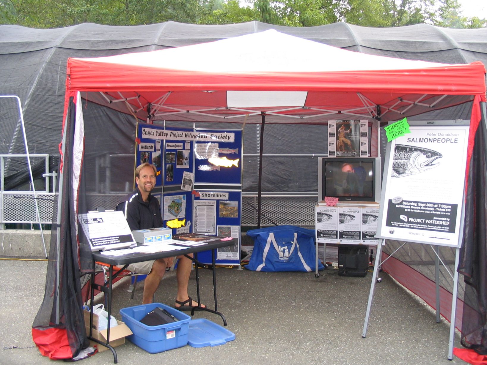
Rivers Day Booth 2006
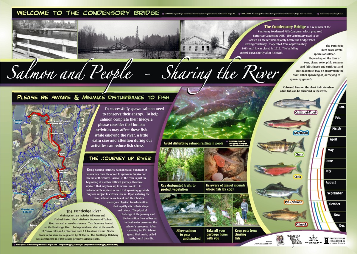
Salmon sign installed at Condensory
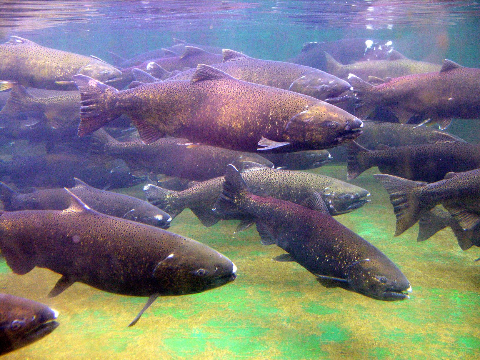
Puntledge summer Chinook
![]() In 2007, Project Watershed was running almost solely on Bridge Coastal Restoration Program projects and looking for ways to diversify our funding base and project scope. There was considerable discussion of issues related to the Courtenay Estuary in the local newspapers. Three issues stood out. The pending sale of the Field Sawmill site (now know as Kus-kus-sum), the development of an service station on the Comox Road that ran through the estuary, and the predation of salmon by seals that gathered in the river to feed, especially during spawning runs. In 2008, we hosted the Heart of our Watershed Symposium to discuss these issues as a community. As a follow up to the symposium, Project Watershed and 14 other individuals and organizations formed the Estuary Working Group. The group decided to use the name K’ómoks Estuary in lieu of the Courtenay River Estuary due to the significance of the estuary to the K’ómoks First Nation.
In 2007, Project Watershed was running almost solely on Bridge Coastal Restoration Program projects and looking for ways to diversify our funding base and project scope. There was considerable discussion of issues related to the Courtenay Estuary in the local newspapers. Three issues stood out. The pending sale of the Field Sawmill site (now know as Kus-kus-sum), the development of an service station on the Comox Road that ran through the estuary, and the predation of salmon by seals that gathered in the river to feed, especially during spawning runs. In 2008, we hosted the Heart of our Watershed Symposium to discuss these issues as a community. As a follow up to the symposium, Project Watershed and 14 other individuals and organizations formed the Estuary Working Group. The group decided to use the name K’ómoks Estuary in lieu of the Courtenay River Estuary due to the significance of the estuary to the K’ómoks First Nation.
Project Watershed also launched the Mapping Centre as a social enterprise during this period. The Watershed Directory, a printed pamphlet of contacts and groups associated with water issues, was updated and rereleased. Project Watershed also joined the Comox Valley Conservation Partnership. In 2008, The Mapping Centre staff, led by Don Chamberlain worked with Jack Minard and Lynda Fyfe from Comox Valley Land Trust to create maps and text for the first edition of Nature Without Borders report. This document is a regional biodiversity conservation plan aimed at helping guide development and conservation in the Comox Valley. It was updated and rereleased in 2013.
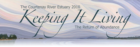
Keeping it Living 2010 banner
The Mapping Centre Logo
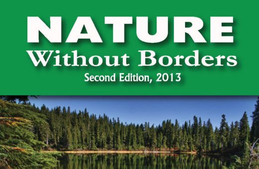
Nature Without Borders 2nd Edition
GPS Mapping 2008
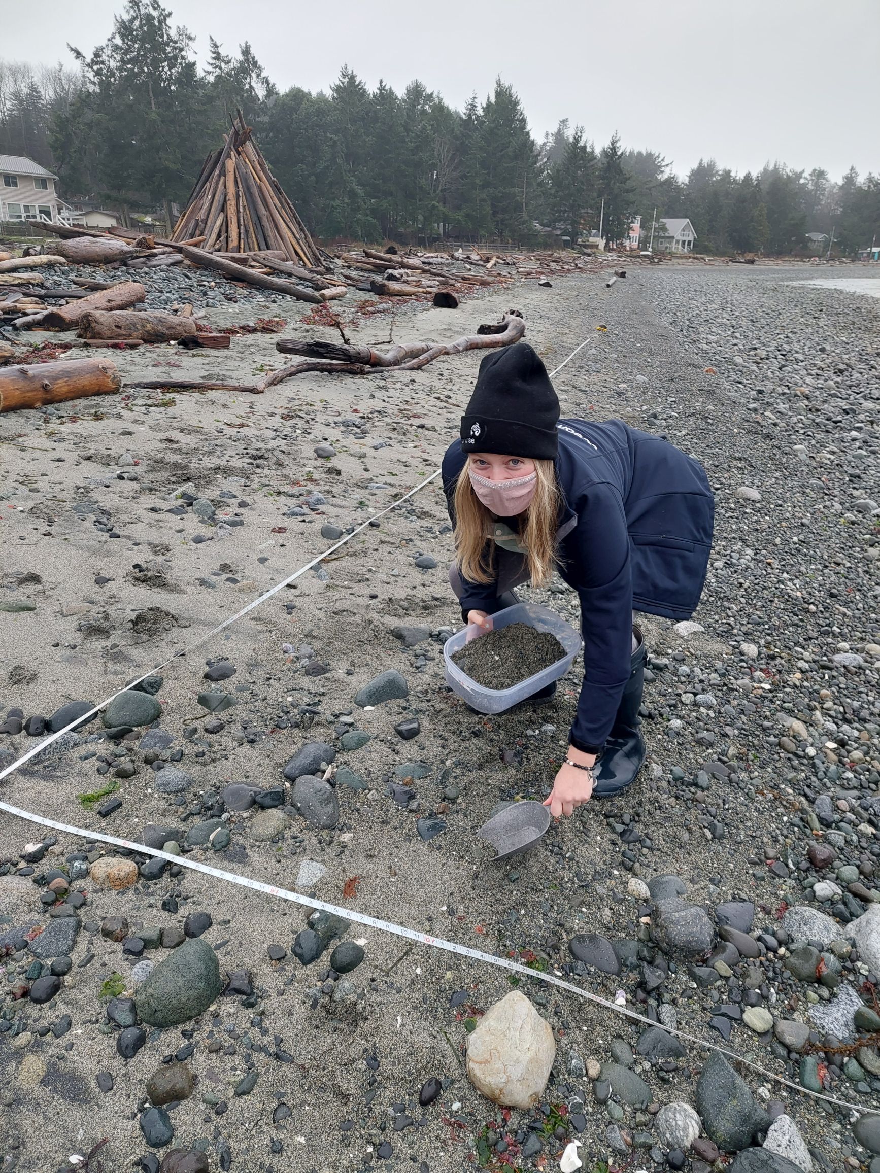
2009, a Fish in the Ditch Map Booklet and Englishman River maps were created for MVIHES. Elder College courses began, and interpretive signs were installed in Puntledge Park and Hatchery. Working with Ramona DeGraff we gathered and trained volunteers who sampled beaches for forage fish for approximately one year. During this time eggs were found at Goose Spit and Hart/Washer Creek.
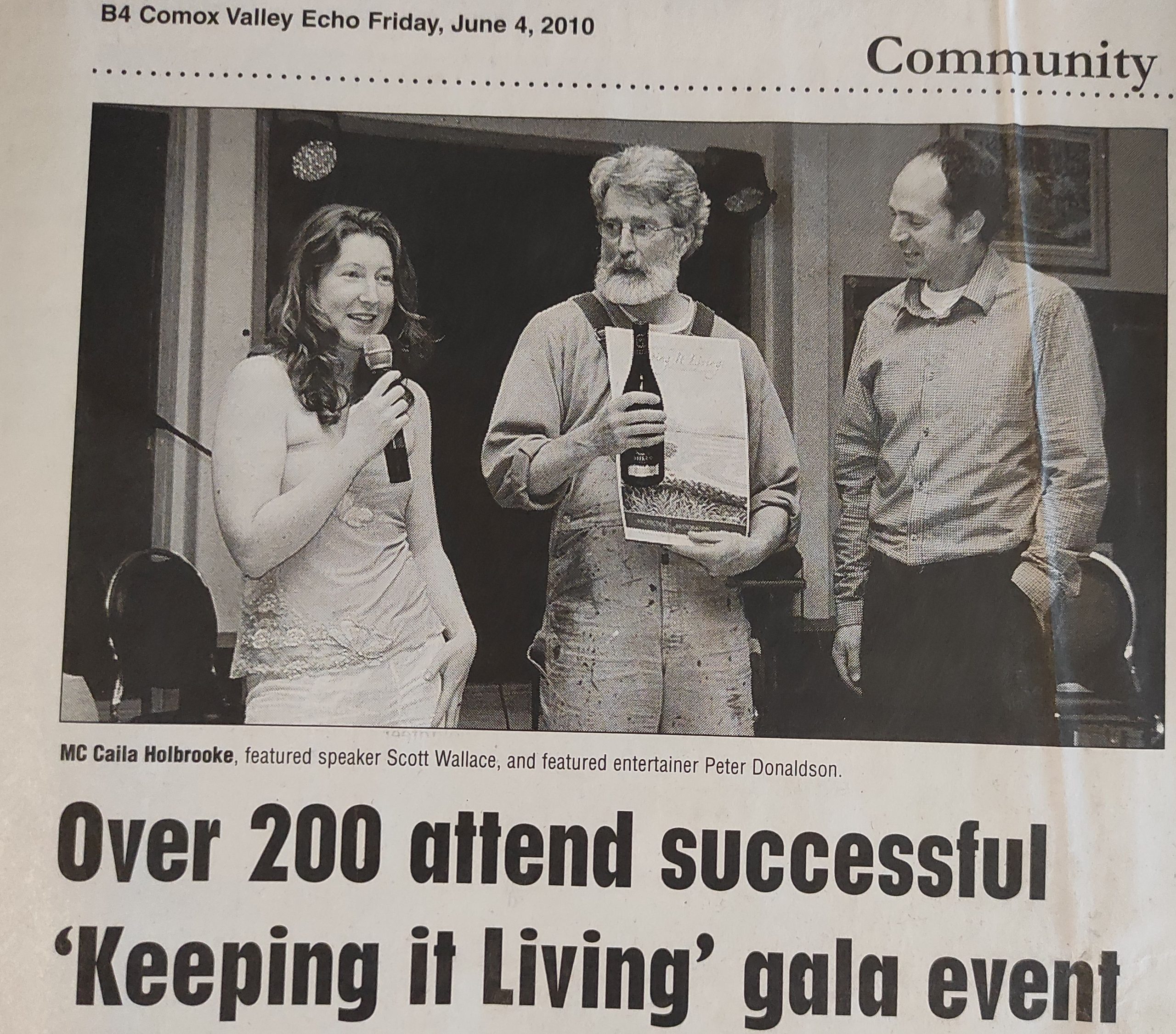
In collaboration with Nancy Morrison, from the Arts Community, Project Watershed launched the Keeping It Living campaign; an annual art competition featuring work reflecting the estuary to raise funds and awareness. Project Watershed chose to select one image from this event each year which became its image for posters and promotions in the following year. “The View from the Airpark #34” by Beverly Byerley was donated to Project Watershed and it was decided that this painting would form the basis for our Keeping It Living Campaign in 2010 and a yearly award for individuals or organizations who made significant contributions to restoring and protecting the environment. The Comox Valley Regional District received the first Keeping It Living award (2009). Keeping It Living art competitions were held for 7 years, over 100 local artists and a wide variety of businesses donated to this initiative. Reproductions of the images are still given out to thank donors as part of our Limited Edition Art Fundraiser.
Wedler Engineering hired The Mapping Center to produce maps for the Comox Lake Watershed Protection Plan and the Comox Valley Bike Map was created for the Broken Spoke. Project Watershed, the Comox Valley Land Trust and Tsolum River Restoration Society moved to Tintown and called the space the Conservation Centre.
In 2010, the first Keeping It Living Dinner event was held at the Fish and Game Lodge at Comox Lake. The Stick in the Mud Club was formed to raise funds for carbon dating of fish trap stakes in the estuary. Andy Everson designed an image of a stake to support the fundraising. The radio carbon dating provided data for Nancy Greene and David McGee’s groundbreaking Ancient Fish Traps work which was published in The Canadian Journal of Archeology in 2015.

Nancy Greene presenting Andy Everson with his Stick in the Mud certificate
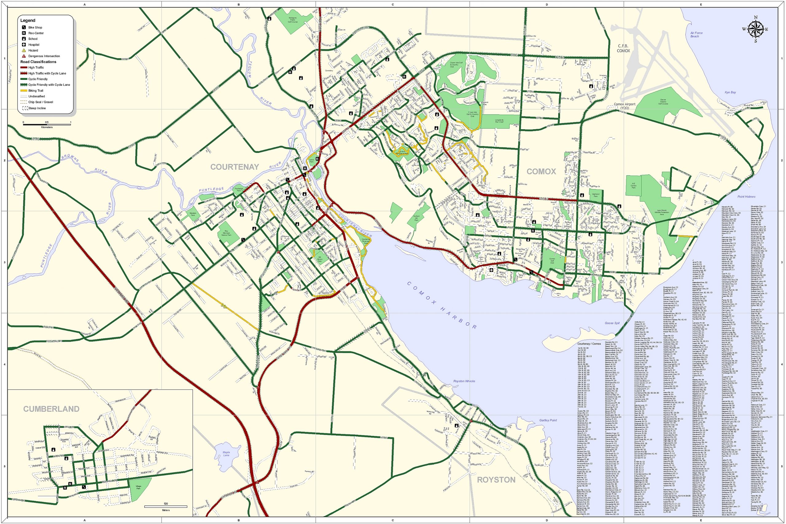
Cycling Map for the Broken Spoke
Elder College course “Nature’s Water Works” 2014
Keeping It Living event 2010
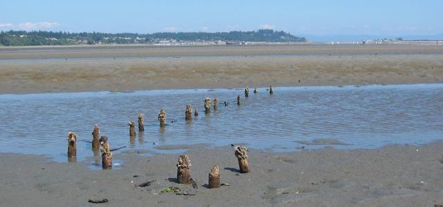
Fish Trap Remnants ~ David McGee

Eelgrass planting in Royston
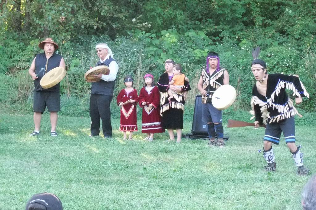
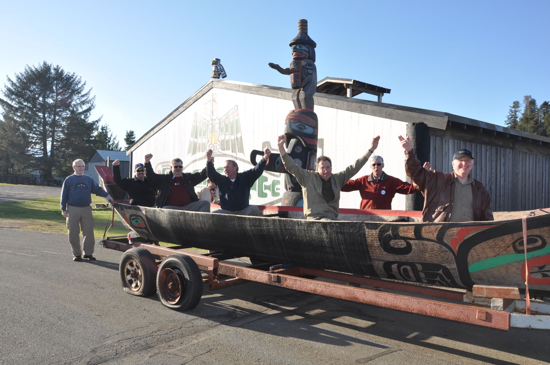
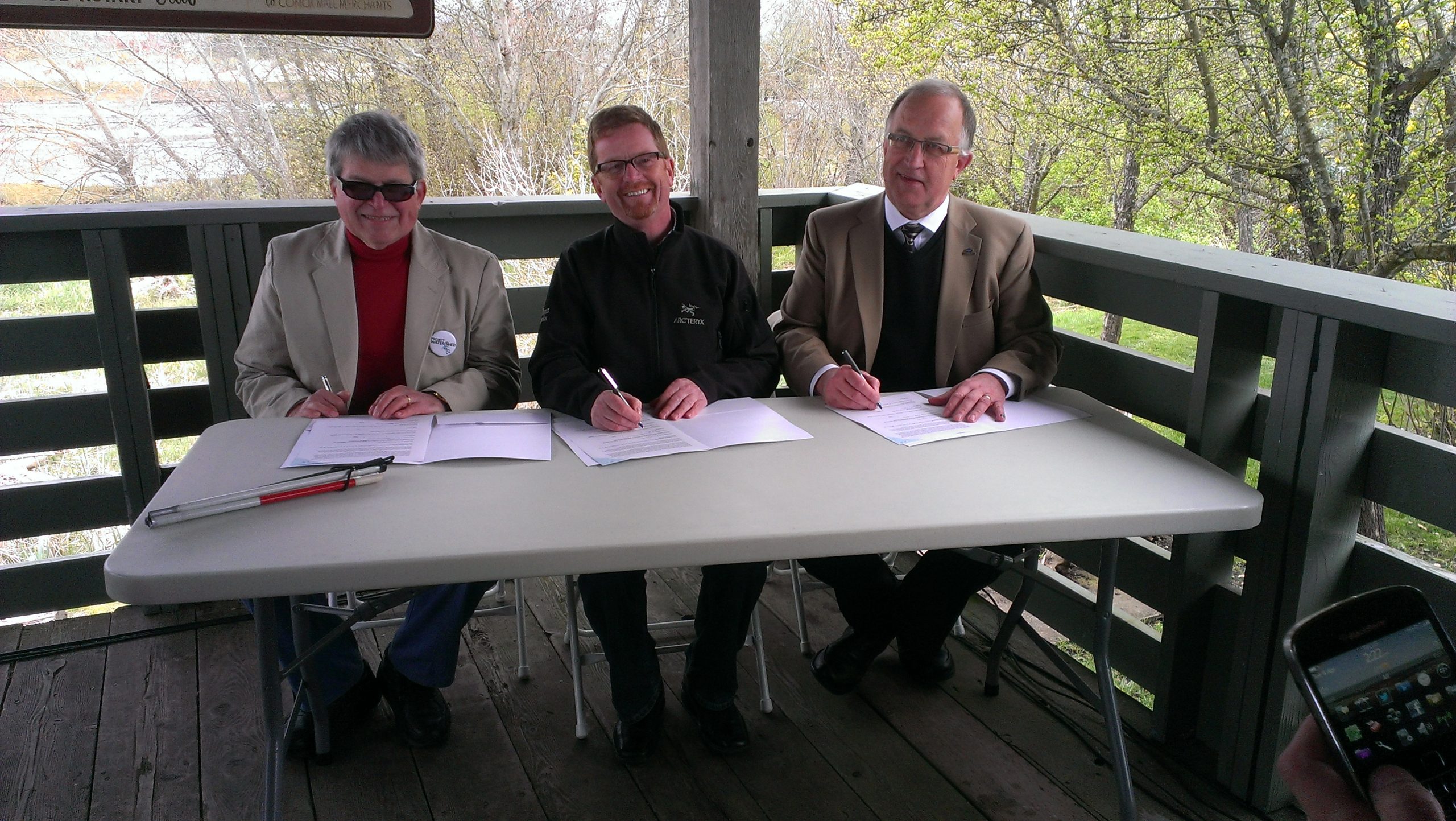
In 2011, the K’omoks First Nation met with Project Watershed to formally sign a Memorandum of Agreement regarding information and activity in the K’òmoks Estuary. This agreement established a relationship regarding collaboration on future activity in the estuary. In the same year, the first eelgrass transplant pilot project was undertaken in Royston and an the Estuary Residents Survey, which explored the knowledge and interest of people living around the K’ómoks Estuary in estuary issues, was completed. Project Watershed organized a popular event that highlighted groups working to improve the health of the estuary called The Day of the Estuary.
A National Historic Site Status Committee was formed and prepared a submission in 2011-12 that they hoped would solidify protection of the estuary. This submission was based on the research on historic fish traps by Nancy Greene and David McGee. It included the production of the video The K’ómoks Estuary- A cultural & archaeological treasure. The K’ómoks First Nation wanted to wait until their treaty with the Crown was finalized before formally supporting a submission. The Treaty is still pending and the initiative on hold.
Lora Tryon, working with Project Watershed on her Master’s Thesis, produced The Restoration and Protection Options for Juvenile Salmonids in 2011. This document which listed and prioritized projects in the estuary to benefit salmon and other species, laid the foundation for our future projects in and around the estuary. Maps highlighting traditional First Nation land use and European settlement in the Comox Valley were created for the Comox Museum by the Mapping Center in 2011-12.
MOA Signing event
K’òmoks First Nation Canoe at Day of the Estuary event by Valeri Diamond
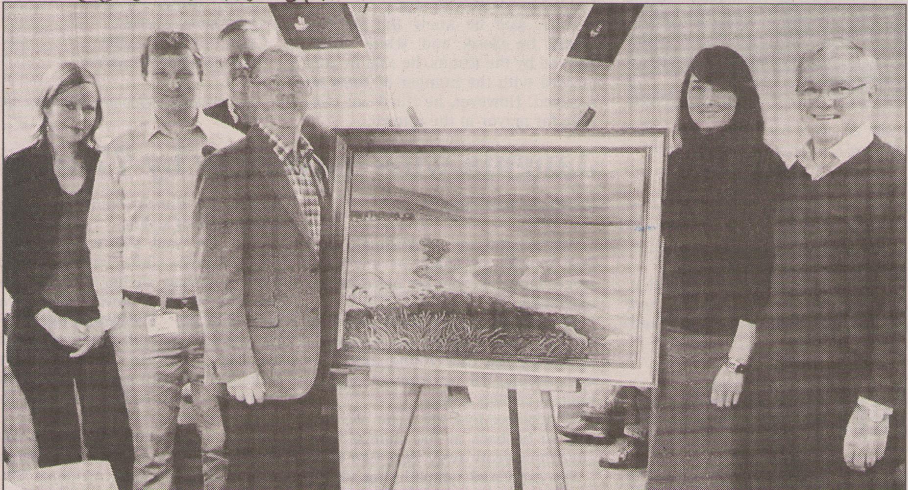
Keeping It Living Award goes to City of Courtenay
Juvenile Salmon~ Dan Bowen
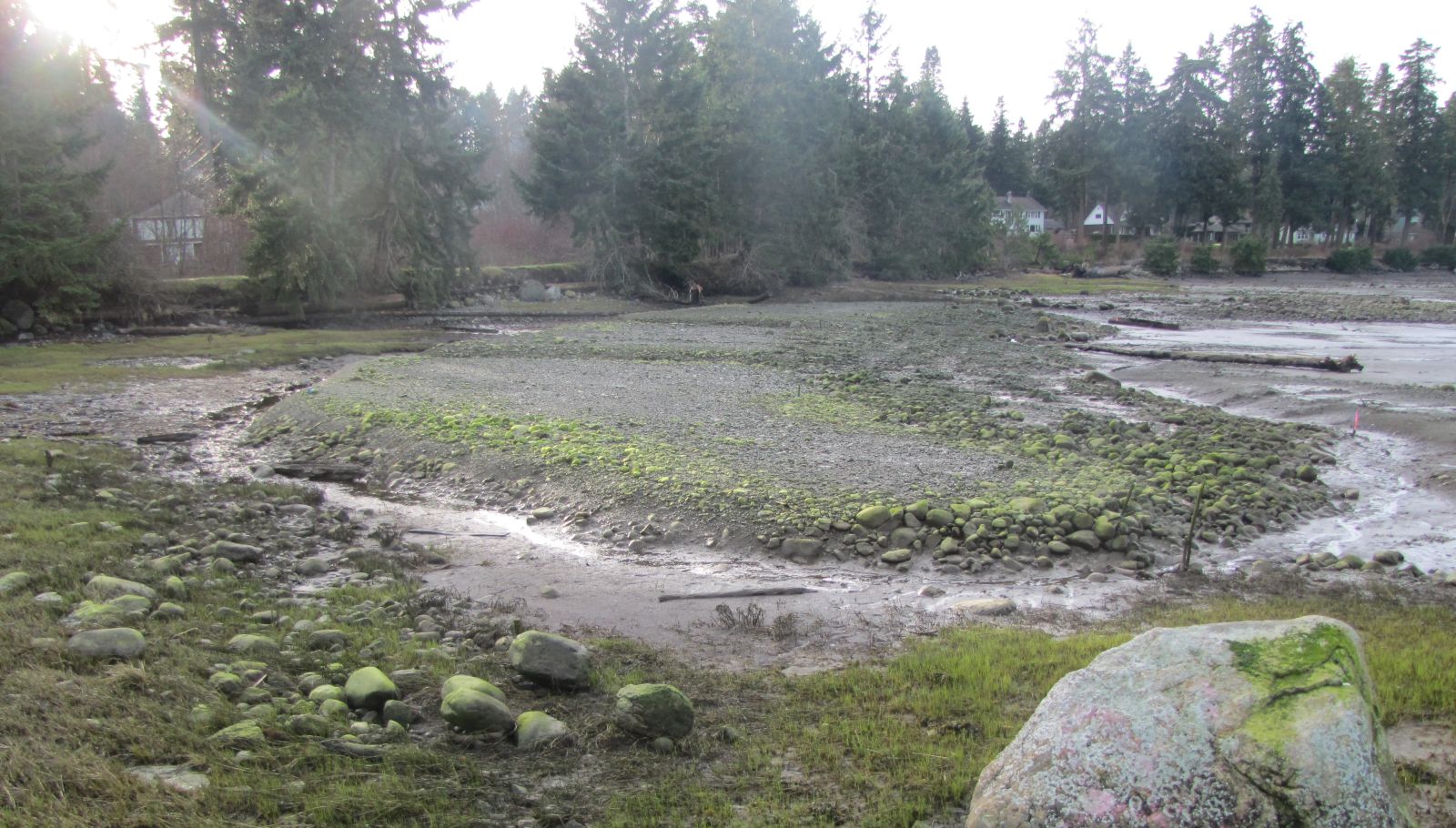
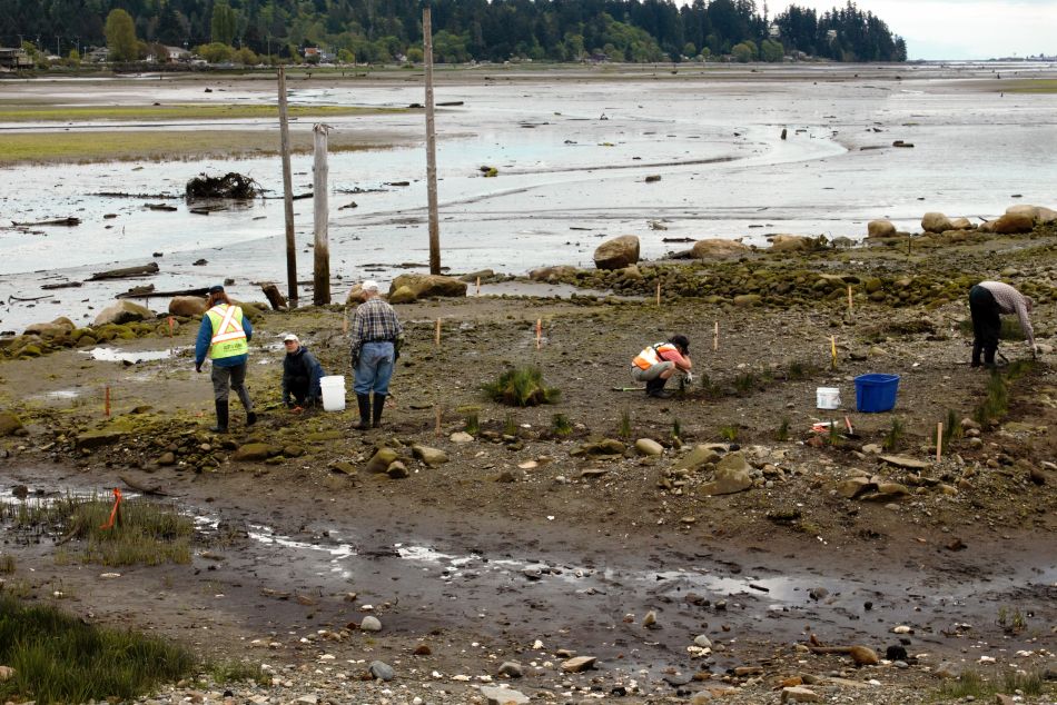
In 2013, the Airpark Breach restoration concept was developed through Fish and Wildlife Compensation Program scoping grants. The Mapping Centre produced an Illegal Dumping Map for the Comox Valley Regional District, a second edition of the Cycling Map and the Comox Valley Walking Map booklet “Walking the Watersheds of the Comox Valley”. The Interactive Map of the Estuary was started in 2013 and completed in 2014. Grants were received for eelgrass restoration, kelp research, and a Comox Lake Homing Study. The Royston Saltmarsh Project was initiated with support from multiple funders.
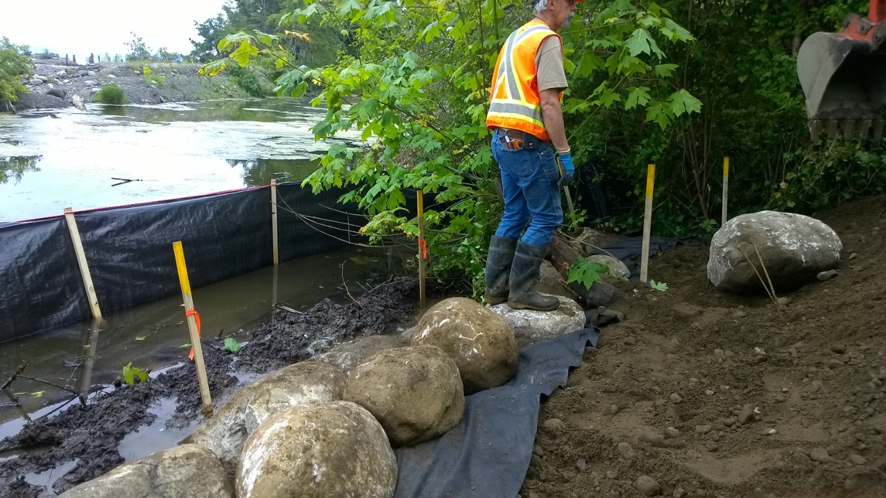
In 2015, the Airpark Breach project was undertaken. Project Watershed collaborated with the City of Courtenay installing a culvert that allowed fresh water from the Courtenay River to flush the stagnant water in the Airpark lagoon at low tide. Fish were observed moving through the lagoon following this instillation. In the same year, the Airpark Saltmarsh Project received funding and eelgrass restoration was completed at the Royston Wrecks. A Memorandum of Understanding was signed with North Island College for blue carbon initiatives. Work on the Puntledge River became heavily focused on hatchery, dam and lake issues and oversight of projects was pass over to the Courtenay and District Fish and Game Association as it was more relevant to their organization.

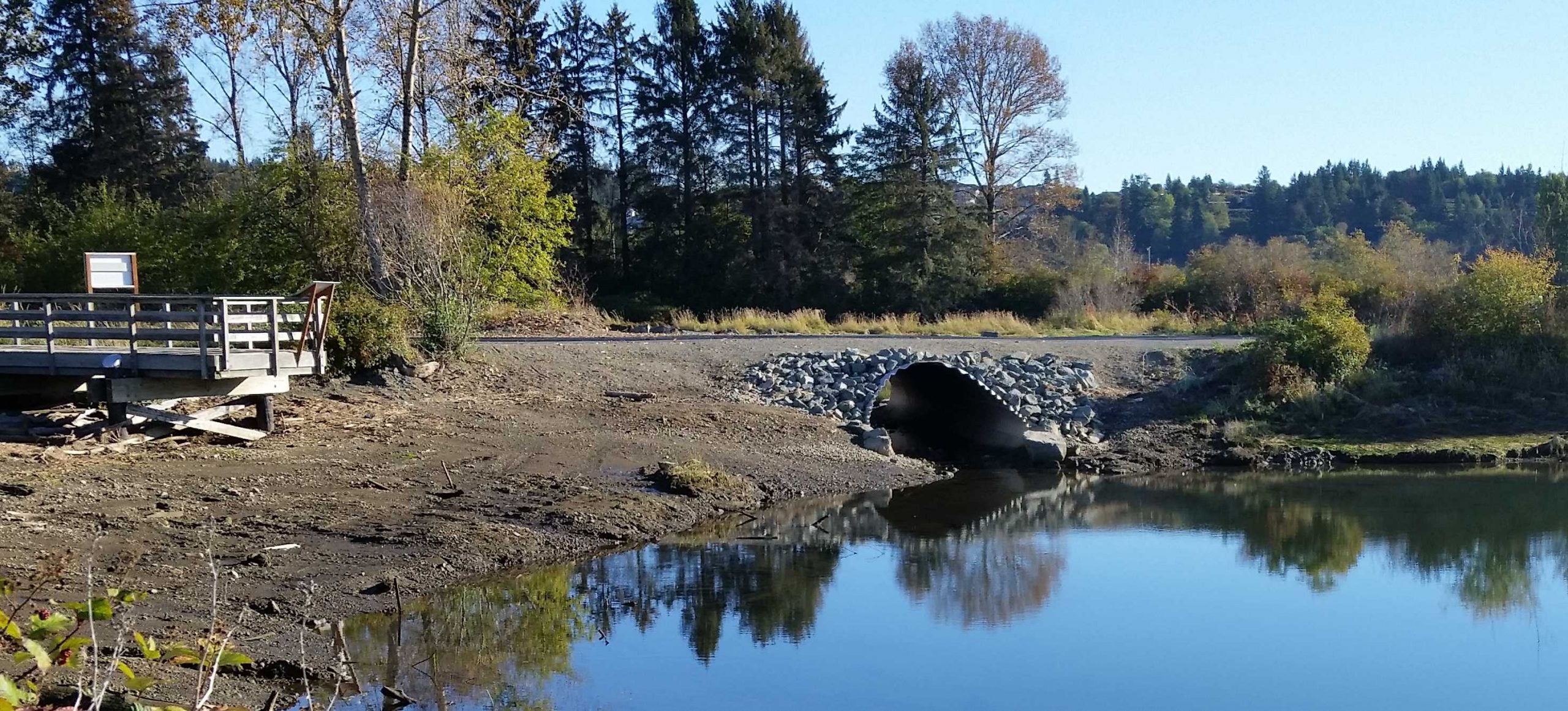
Airpark breach culvert
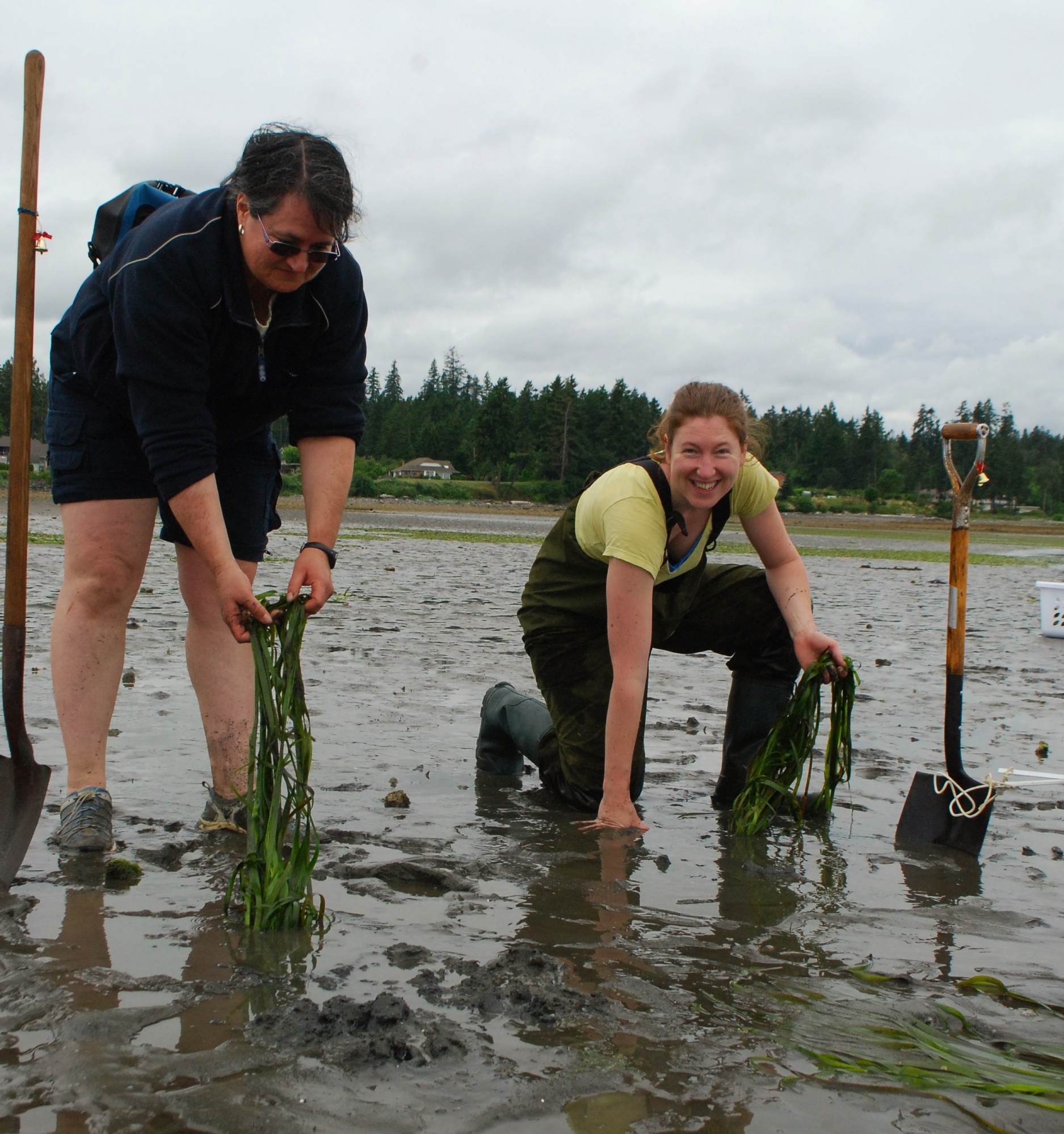
Intertidal eelgrass planting ~ Crystal Norman
Royston saltmarsh islands
Memorandum of Understanding

City of Courtenay, K’òmoks First Nation and Project Watershed launching fundraising for Kus-kus-sum
In 2016, Project Watershed focused on several projects such as the Salish Sea Marine Survival project, Field Sawmill scoping study, Hilton Slough enhancement and the Simms Millennium Park Project. The Simms Park Project included installing culverts and excavating the waterway to reconnect fish habitat between the Courtenay River and Courtenay Slough. The project continued into 2017. Project Watershed changed the name of our conservation library to the Norma Morton Archives in recognition of the lifetime contribution of Norma Mortn to research, restoration and protection of habitat in the K’ómoks Estuary and nearby wetlands. Also in 2016, we hosted a presentation and panel session on Blue Carbon work at the Salish Sea Conference and initiated the Estuary “Signs of Abundance” project. We worked with Emily Carr students who produced a suite of videos focused on the estuary, held an open house at the Conservation Centre and participated in the EcoAssests Symposium.
In 2017, we decided to take on restoring the abandoned Field Sawmill site in partnership with the K’ómoks First Nation and City of Courtenay. The K’ómoks First Nation gave the site the name Kus-kus-sum and we launched the fundraising campaign to acquire the property (for more info visit Kus-kus-sum Project History). In the same year, we secured a 5-year grant for the restoration of saltmarsh, eelgrass and kelp from the Coastal Restoration Fund. We also created our Glacier to Estuary education materials and began providing field trips for School District 71. In addition, to all this The Mapping Centre worked with streamkeepers groups to produce Watershed Brochures for Millard-Piercy Creek, Brooklyn Creek, and Morrison Creek.
Airpark Saltmarsh planting
Hilton Slough enhancement
Simms Park Culvert to Slough

Saltwater wedge education demonstration
Project Watershed accomplished several projects in 2018. We received a land acquisition grant from the Fish and Wildlife Compensation Program for the Kus-kus-sum project and produced a report on Comox Bay Farm wetland restoration options. Other projects included Bowser lagoon eelgrass transplant, Royston Phase II saltmarsh restoration, and ongoing kelp research and habitat mapping, all under the umbrella of the Coastal Restoration Fund. We planted native species at Seaman Road in Black Creek for the Comox Valley Regional District. The Nomadic Tempest show preformed from a replica tall ship was hosted at Kus-kus-sum. Over 2000 people supported the event and it raised $34,000 for the acquisition of the site.
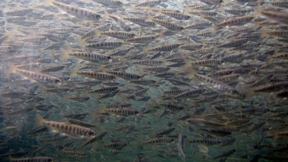
In 2019, Project Watershed produced a Coastal Restoration Plan funded by the Coastal Restoration Fund which outlined 70 foreshore and nearshore saltmarsh, eelgrass and kelp restoration projects. This document laid the foundation for planning and fundraising for our future coastal restoration work. We conducted a reed canary grass control project and carried out education regarding the resident Canadian geese issues and initiatives. Other projects included the BC Parks Eelgrass Mapping Project, ongoing kelp research, and eelgrass restoration at Miracle Beach, all funded by the Coastal Restoration Fund. We also received a 3-year grant from the BC Salmon Restoration and Innovation Fund for Forage Fish research and implemented our second Forage Fish initiative. The K’ómoks First Nation and North Island Collage and Fisheries and Oceans Canada were partners in this initiative.
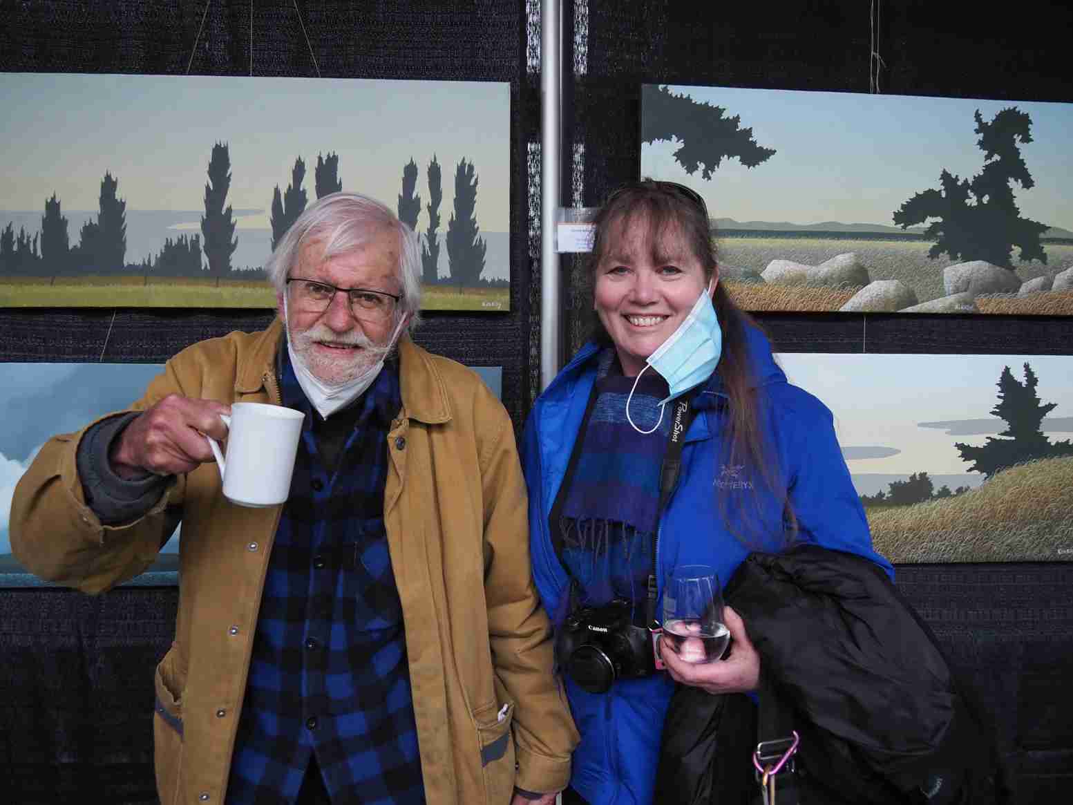
The Kus-kus-sum project received $1 million in funding from the Province of British Columbia for land acquisition. We ran our first Paintings, By the Numbers event with 50 paintings donated by Ken Kirkby and Nana Cook. The event raised over $25,000 for the acquisition. We also initiated the Sponsor a Salmon Fundraiser and began attaching sponsored wooden salmon to the Kus-kus-sum fence. Interfor Corporation, owners of the Kus-kus-sum site removed the dock and pilings at the Kus-kus-sum site in anticipation of its sale.

The Nomadic Tempest Show at Kus-kus-sum by Darran Chaisson

Fanny Bay Salt Marsh Restoration

Reed Canary Grass patch
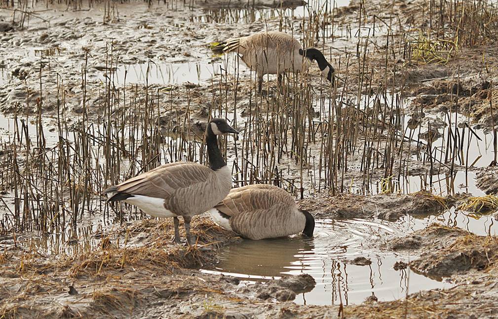
Resident Geese Eating Salt Marsh ~ Gerry Fairbrother
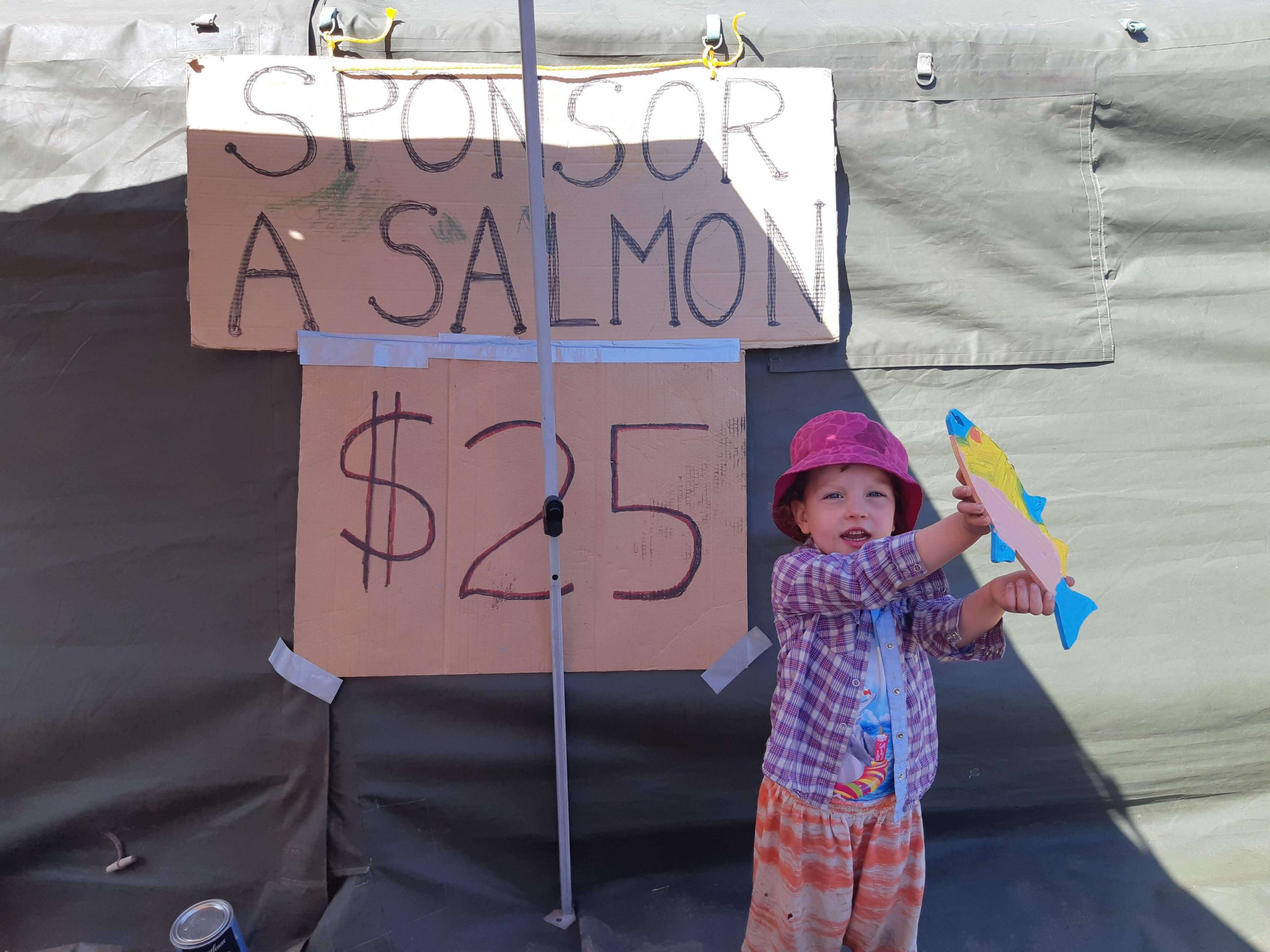
Wren’s Painted Salmon

An excavator ripping up rebar laden concrete at Kus-kus-sum by Norm Prince of brokenfish Photography
In 2020, Project Watershed completed saltmarsh restoration at Fanny Bay and started the Comox Bay Farm wetland restoration project with Ducks Unlimited. We continued our work on saltmarsh, eelgrass, and kelp restoration. Sampling beaches for forage fish continued as we expanded into the Campbell River area. Protocols were developed and implemented for sampling beaches via environmental DNA. Fundraising for the purchase of the Kus-kus-sum property wrapped up with the Province of BC and a few major donors stepping in to contribute the final funds required. The property acquisition component of the project was completed in November.
In 2021, we initiated Phase I of the Kus-kus-sum Project; removing the building, concrete, rebar and asphalt from the site. We continued work on our coastal restoration projects focused on eelgrass, saltmarsh, and kelp restoration, research and monitoring. Our forage fish initiative carried into year two. We worked with a variety of partners including an Ocean Bridge Ambassador on this initiative and surveyed a variety of beaches in the winter and summer for forage fish eggs. Our Comox Bay Farm wetland restoration and Mallard Creek reed canary grass control continued to progress. Glacier View Lodge lands development presented opportunities for Mallard Creek headwaters. For the second time in our history, we hired an Executive Director. In addition, our Board of Directors started the transition from a working board to a governance board.
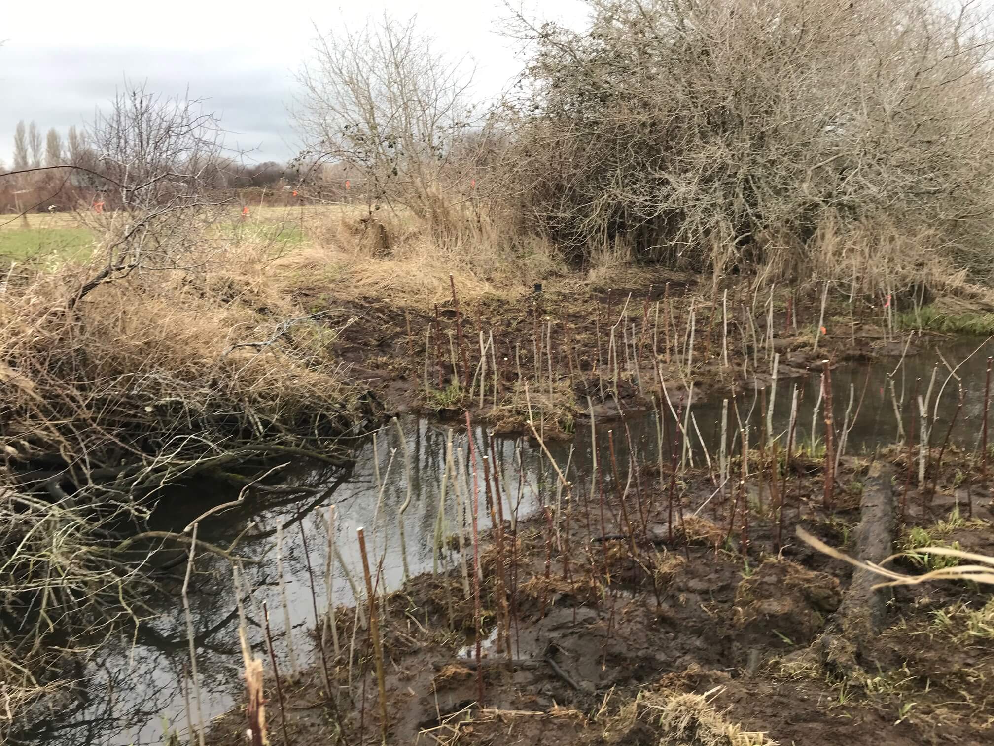
Willow stakes along Mallard Creek to combat reed canary grass
Ocean Bridge Ambassador Tiara Jacobson ~V.East
Fanny Bay salt marsh plants

Setting up fish nets at Glen Urquhart ~ R. McDonald
2022 was the final year of our 5-year Coastal Restoration Project and the final year of our 3-year Forage Fish Initiative. Additional funding was sought to continue to support work in these two areas. On the forage fish front, Pacific sand lance eggs had been found every winter sampling season, however, no surf smelt eggs were noted from any of the summer sampling. Intertidal and subtidal models were produced from our work with Master’s students from the University of Victoria and the University of British Columbia.
Phase I of the Kus-kus-sum restoration was wrapped up and Phase II, which involved recontouring and replanting was started. Another Paintings, By The Numbers event was held again raising over $25,000 for the Kus-kus-sum project. Mallard Creek reed canary grass control and channel restoration continued along with the Glen Urquhart restoration work.
In 2023, Project Watershed will continue Phase II of the Kus-kus-sum Project with a focus on raising funds to complete the restoration. We also continue work on Glen Urquhart and Mallard Creeks as well as continue our forage fish and education initiatives. To keep up-to-date with our work, visit our news blog regularly at projectwatershed.ca.

Forage Fish Eggs ~ Institute of Ocean Sciences
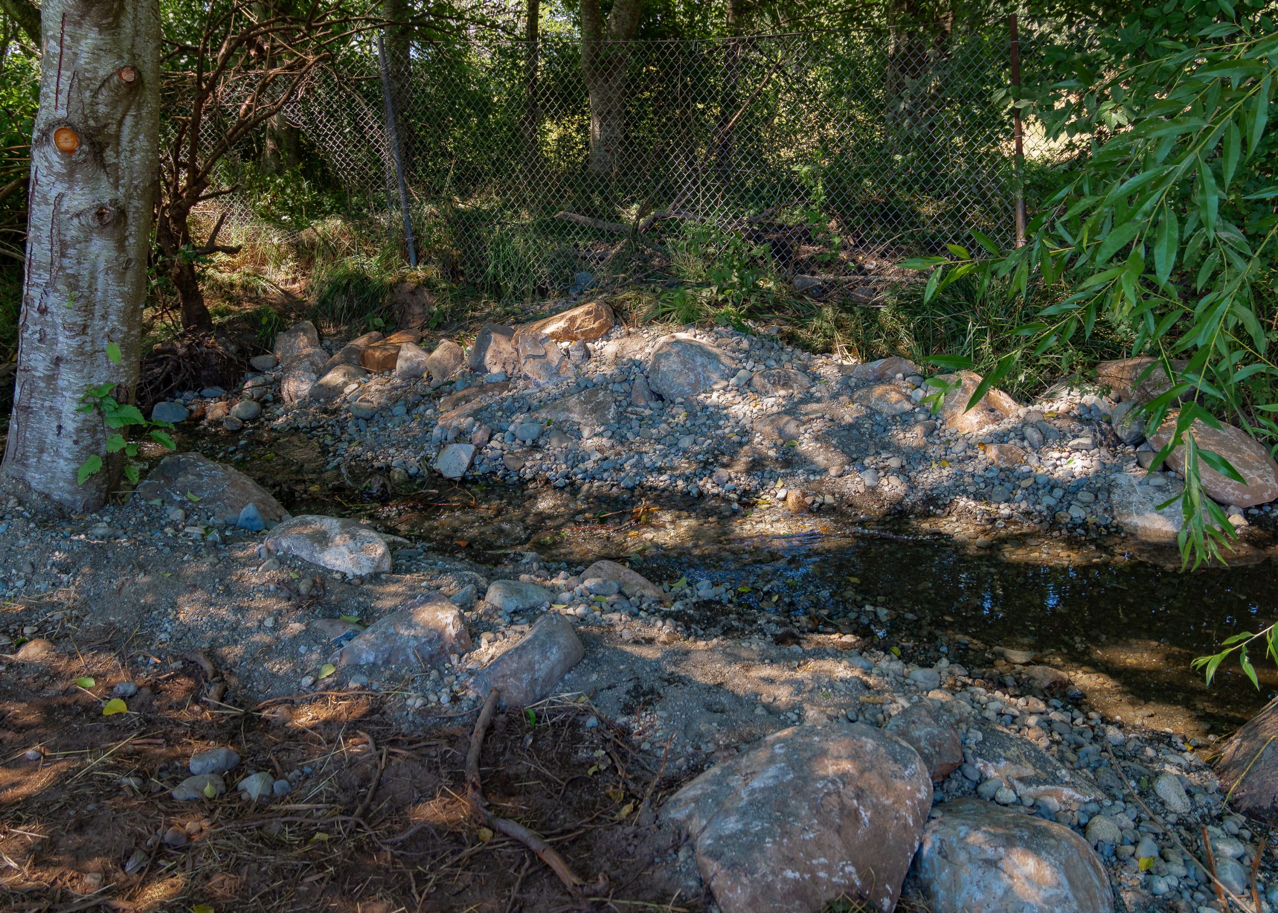
New riffle Construction at Glen Urquhart ~ L. Stewart
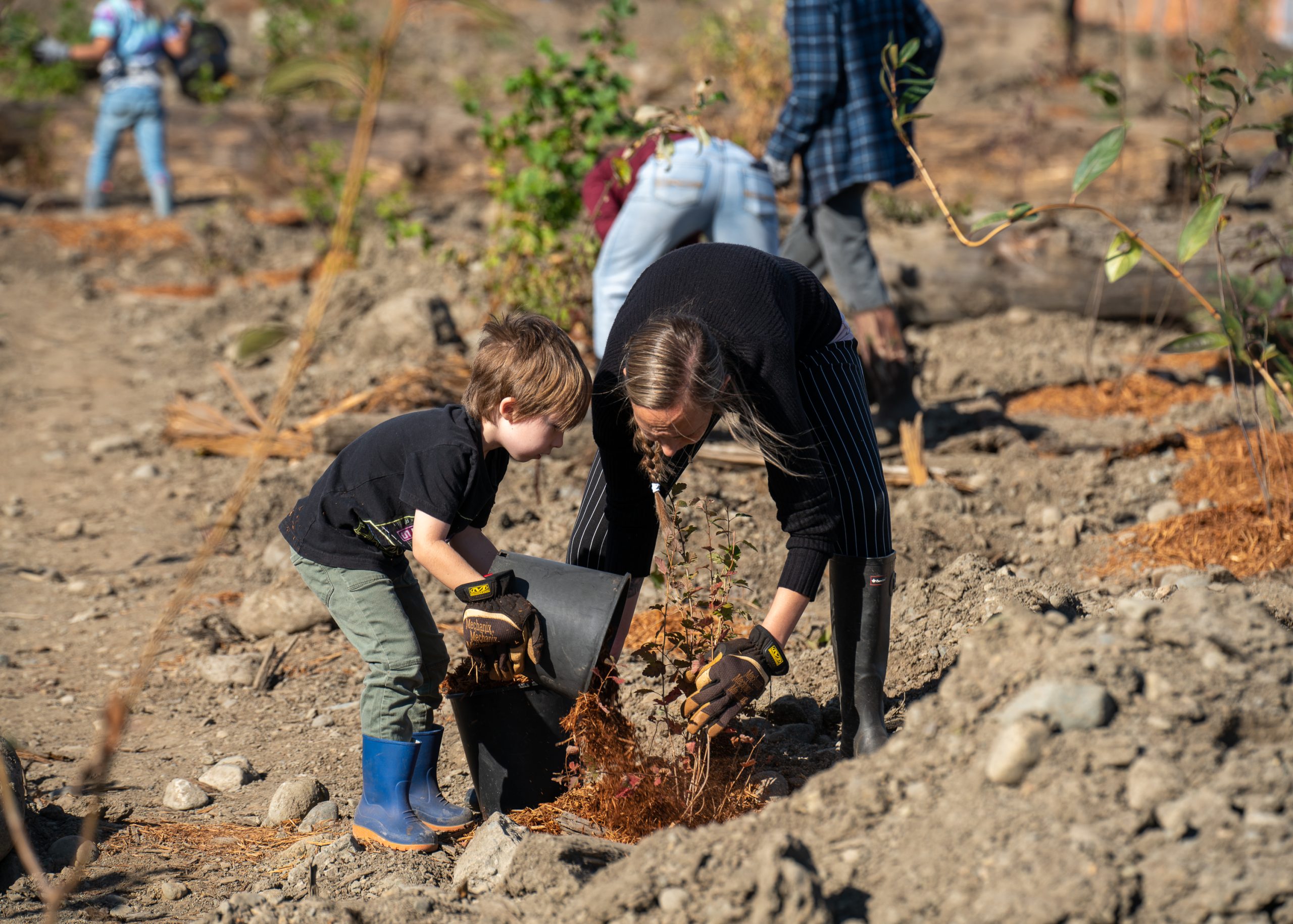
October Planting at Kus-kus-sum ~ L.Stewart
Volunteers preparing eelgrass for transplant ~ V. East