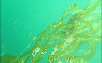
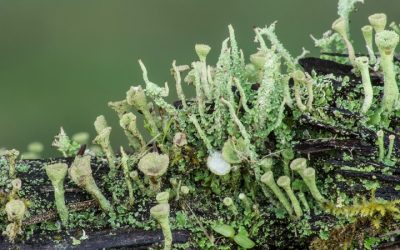
A kelp forest is a type of nearshore aquatic habitat, found along rocky coasts with wave action or strong currents in depths of 4 to 20 meters.
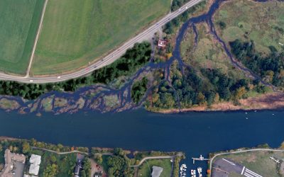
Project Watershed Continues Restoration Work Along Mallard Creek
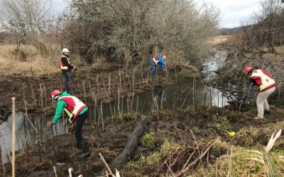
Back in February, Project Watershed and volunteers from Aecon Water Infrastructure Inc. planted over 100 native species along a section of Mallard Creek.
K’omoks Estuary Management Plan
Working together to manage the K'ómoks EstuaryProject Watershed has taken an active part in helping create a plan for integrated management of the estuary across all governing bodies to ensure estuary health and resilience.The Comox Valley Regional District took the...
Puntledge River – Salmon Posters
Puntledge River-related posters with information about salmon, salmon habitat and habitat restoration.
Kus-kus-sum Morphing Video
Project Watershed worked with local artist Robert Lundquist to create this video which outlines how nature will be restored at Kus-kus-sum.
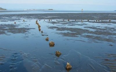
Comox Harbour Fish Trap Photo Gallery
Such contemporaneous, large-scale fishing activity at multiple locations in the estuary could have resulted in the capture of enormous quantities of fish.
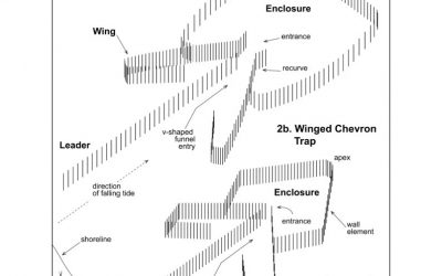
Highlights from the Ancient Fish Trap Study
Two temporally and morphologically distinct trap types were utilized, and the shift from the Winged Heart trap type to the Winged Chevron trap type about 700 years ago appears abrupt and closely coincident with Little Ice Age climatic conditions and increased importance of salmon at Aboriginal village sites on west coast Vancouver Island, at Haida Gwaii (Queen Charlotte Islands) and south coast Alaska.
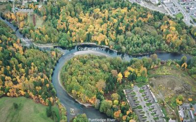
Courtenay River
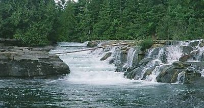
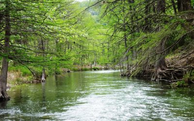
The Courtenay River is the shortest navigable river the world. It starts where the Puntledge and Tsolum rivers converge and occupies a prominent central location in the heart of the City of Courtenay.
Simms Park Native Plants
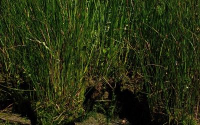
Riparian areas include the native trees, shrubs and grasses growing alongside water-courses. These native plants provide vegetative cover to help moderate water temperature.
Riparian Habitat
A riparian area is the interface between the land and a river or stream. Riparian areas link water to land. They boarder streams, lakes and wetlands and encompass the trees, shrubs and grasses growing along these water bodies.
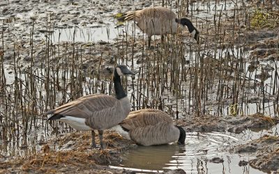
Resident Geese Overgraze
These resident geese overgraze the vegetation and grub the roots of the ‘marsh platform’ – a thick accumulation of nutrient-dense soils from land, freshwater aquatic and marine sources bound together by vegetation.
The KFN Guardians are preventing rich soils from being eroded
By reviving cultural practices and innovating restoration techniques, the Guardians are preventing rich soils from being eroded and washed away with the tides.


